Road Trip (Black Hills & Badlands)

Our great western road trip is in the rearview.

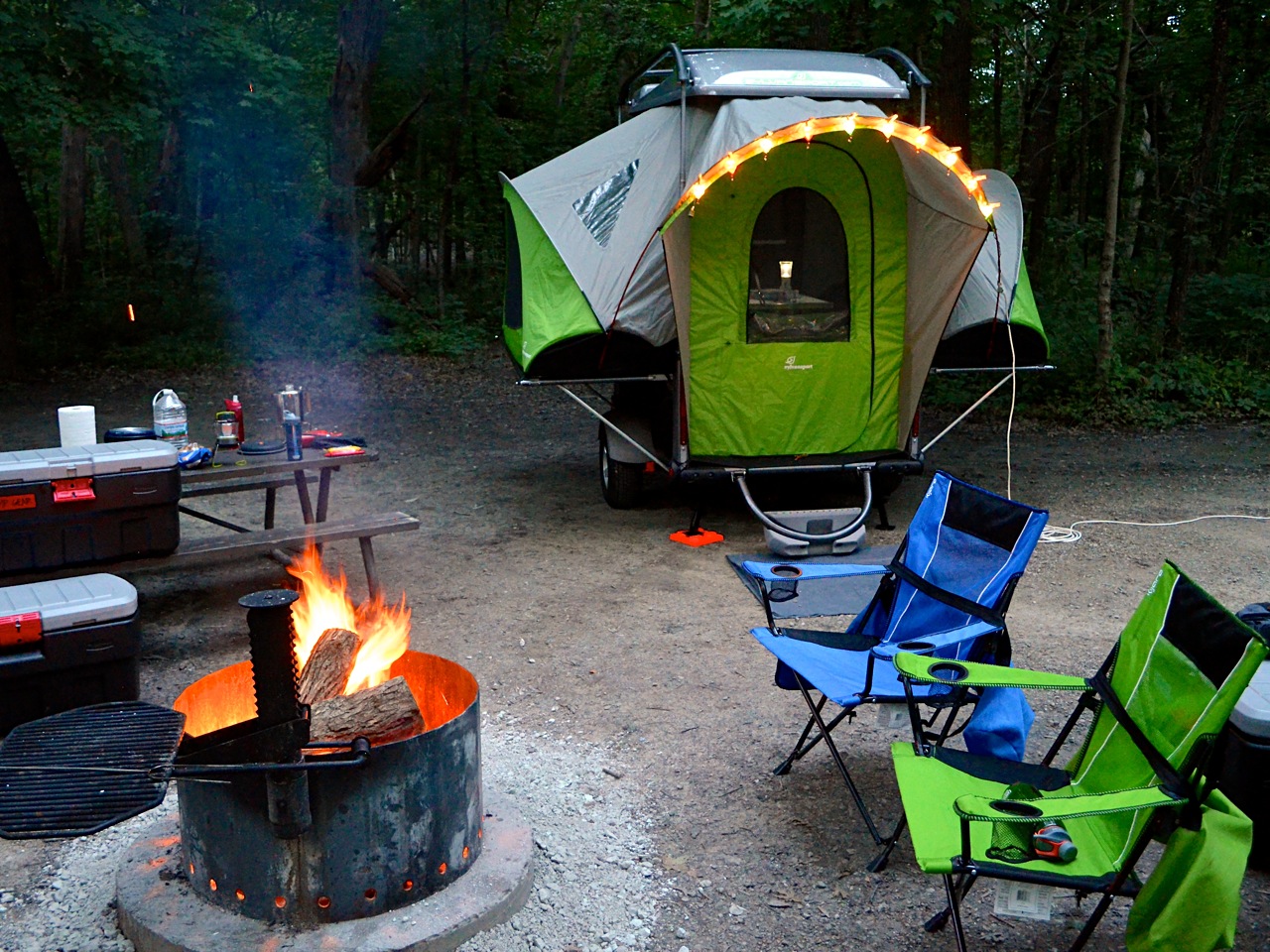
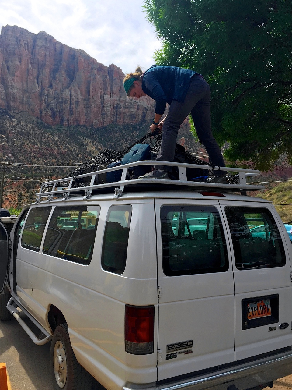
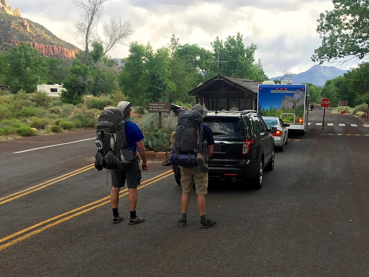
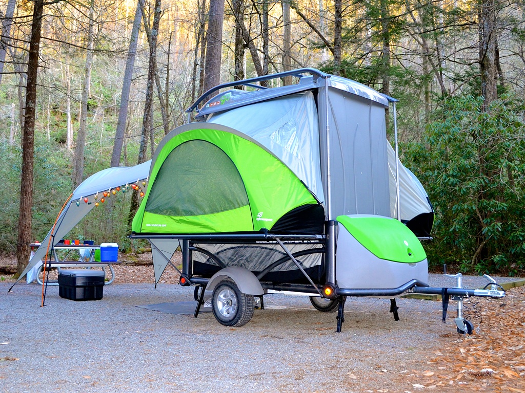
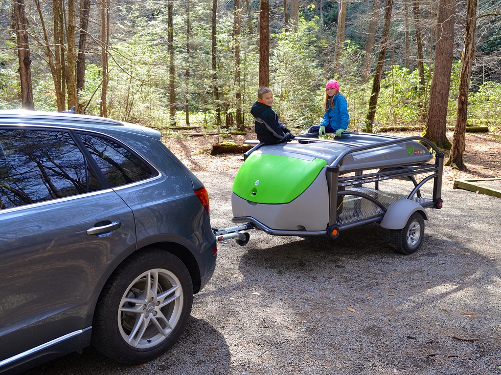
After nine months of deliberation, we bought a SylvanSport GO camper with this road trip in mind. Which meant we needed a trailer hitch, or better yet, a new car with a trailer hitch. (Sorry minivan, you were good to us!) We loaded everything we’d need for 13 days into large Rubbermaid storage tubs and set our gaze westward.

Day 1 — Starved Rock State Park, Oglesby, IL

While researching this trip, I came across an article that opined Starved Rock State Park might be worth a visit. None of us had ever been, and it was kinda-sorta in the direction we needed to go. A short 3-1/2 hours later we were setting up camp.

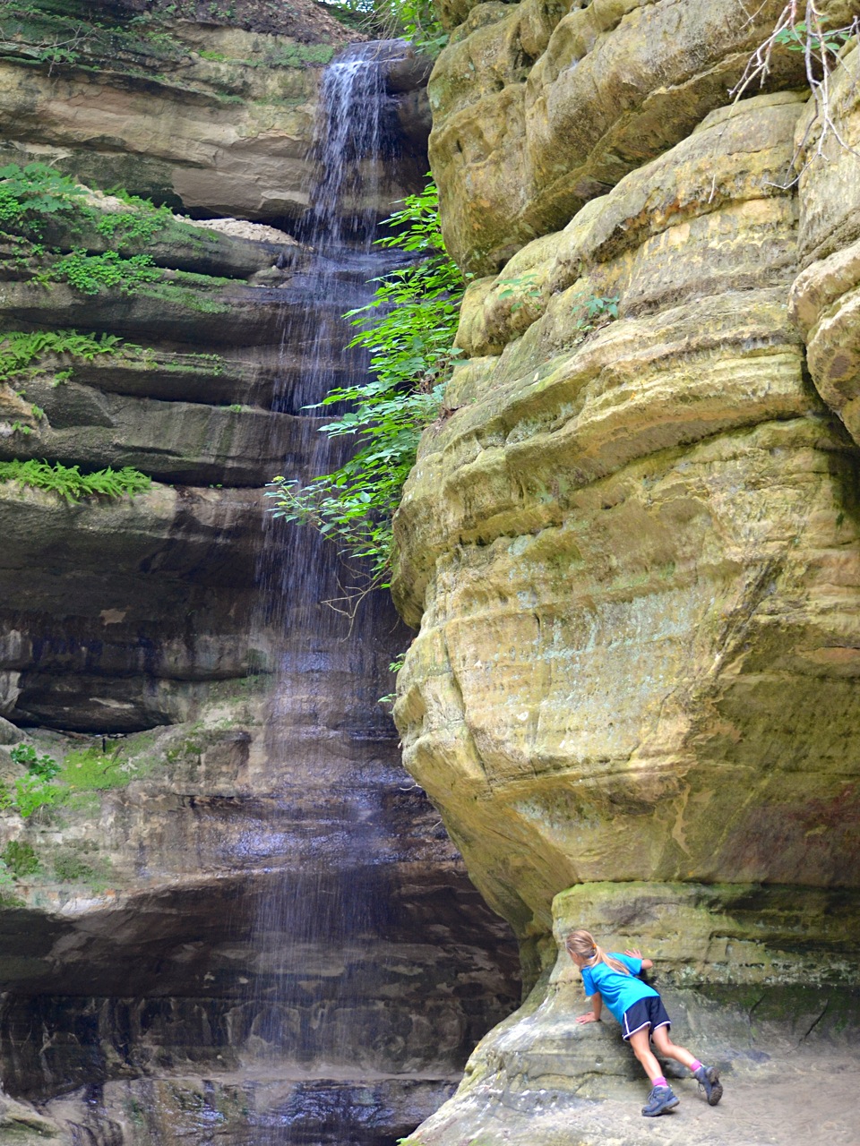
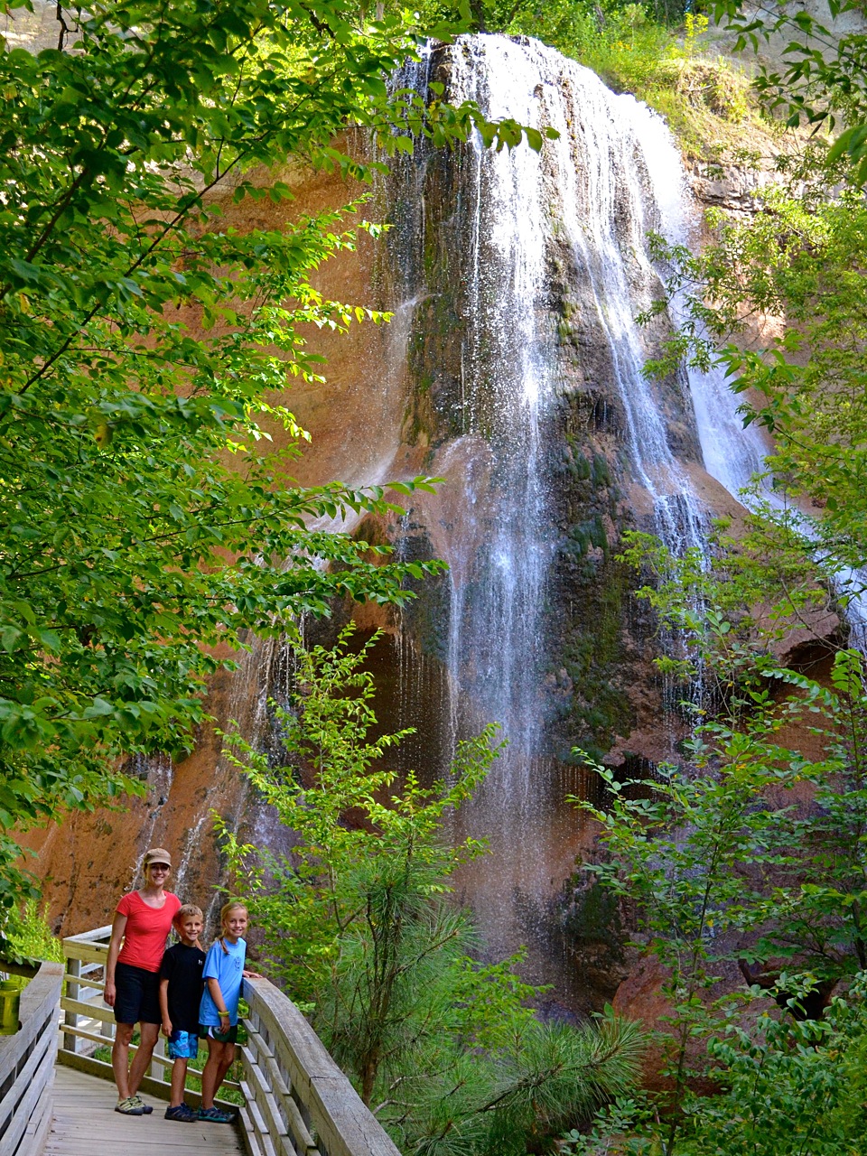
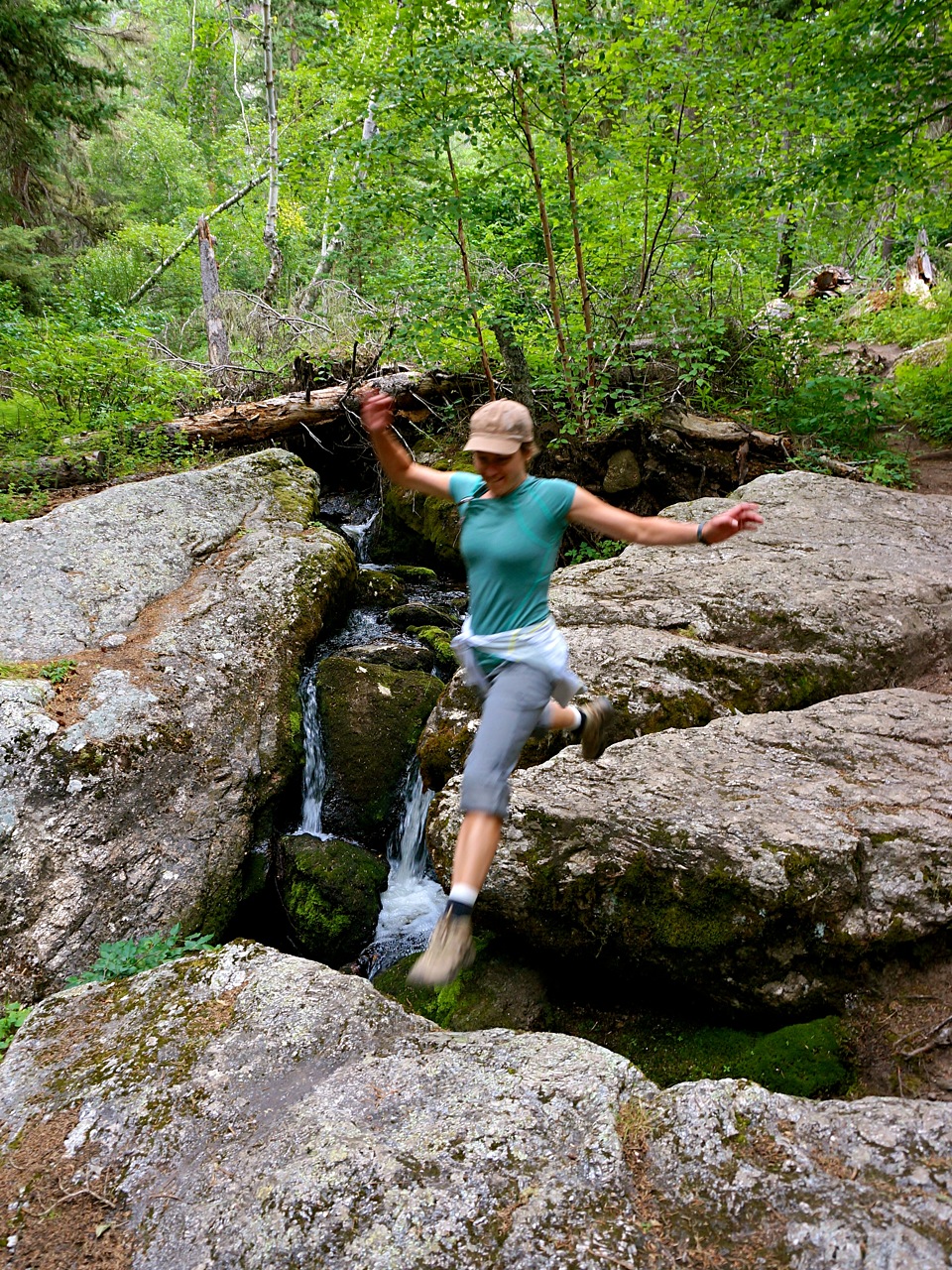
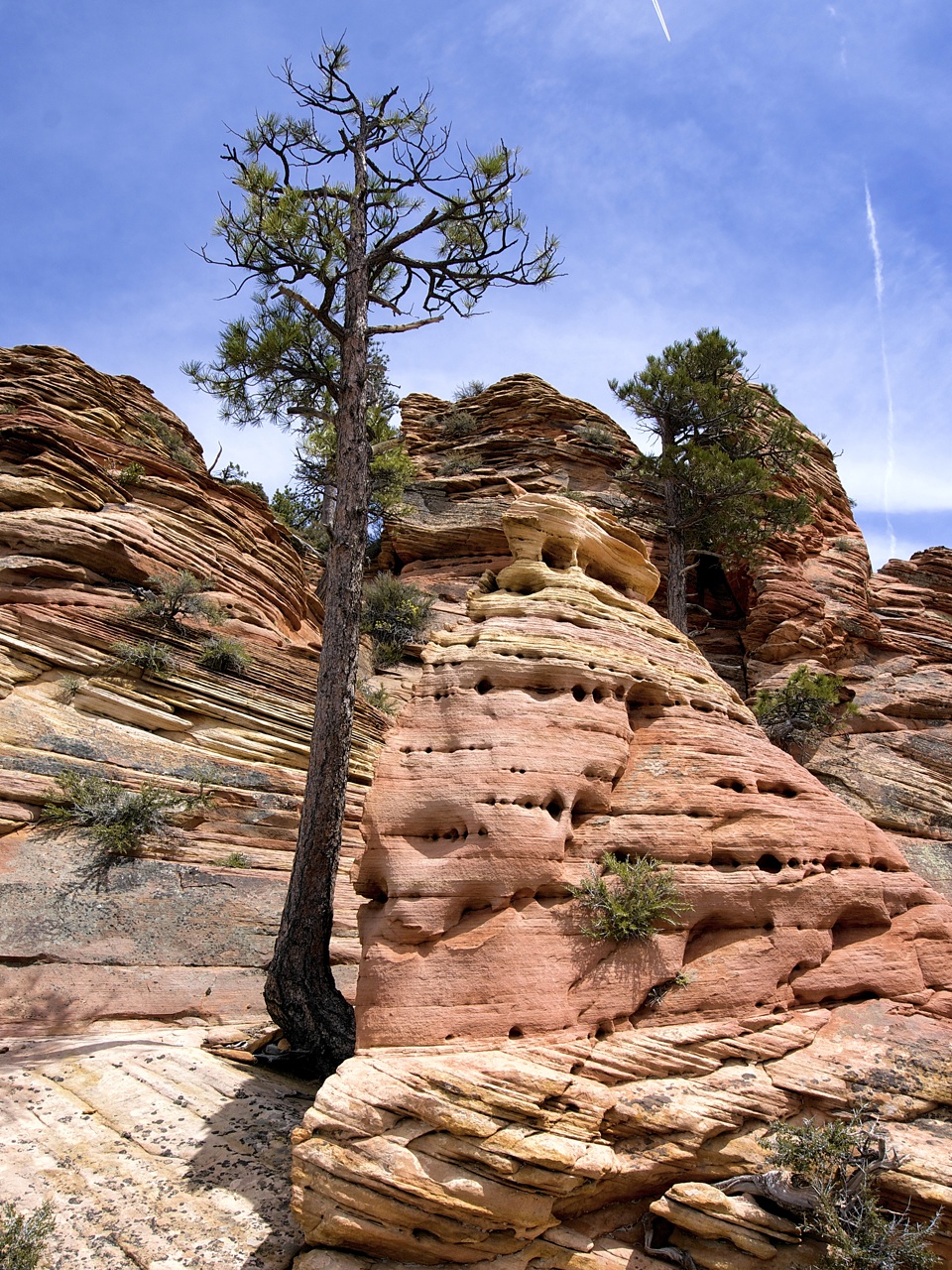
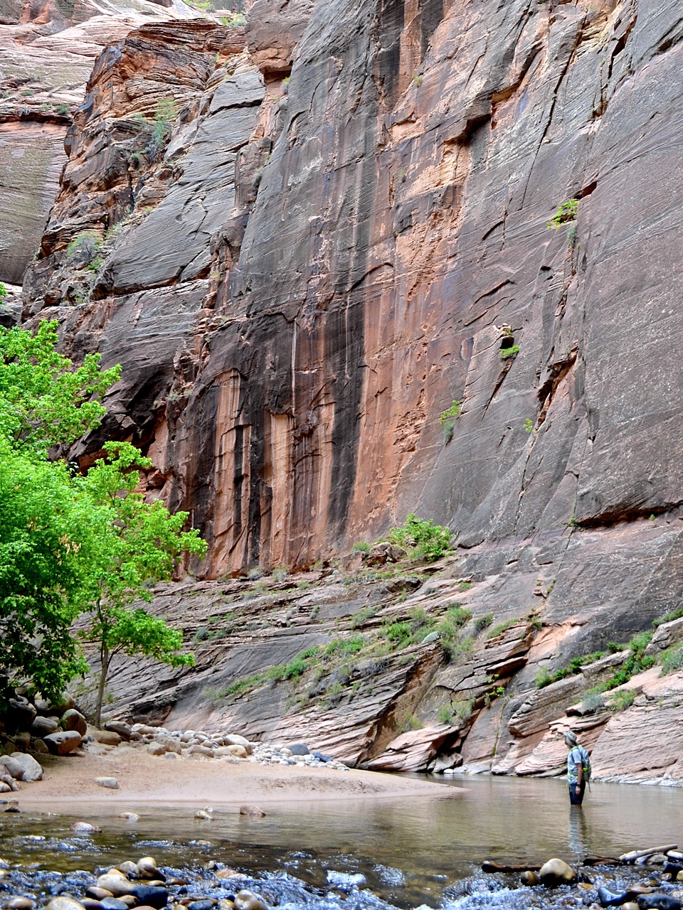
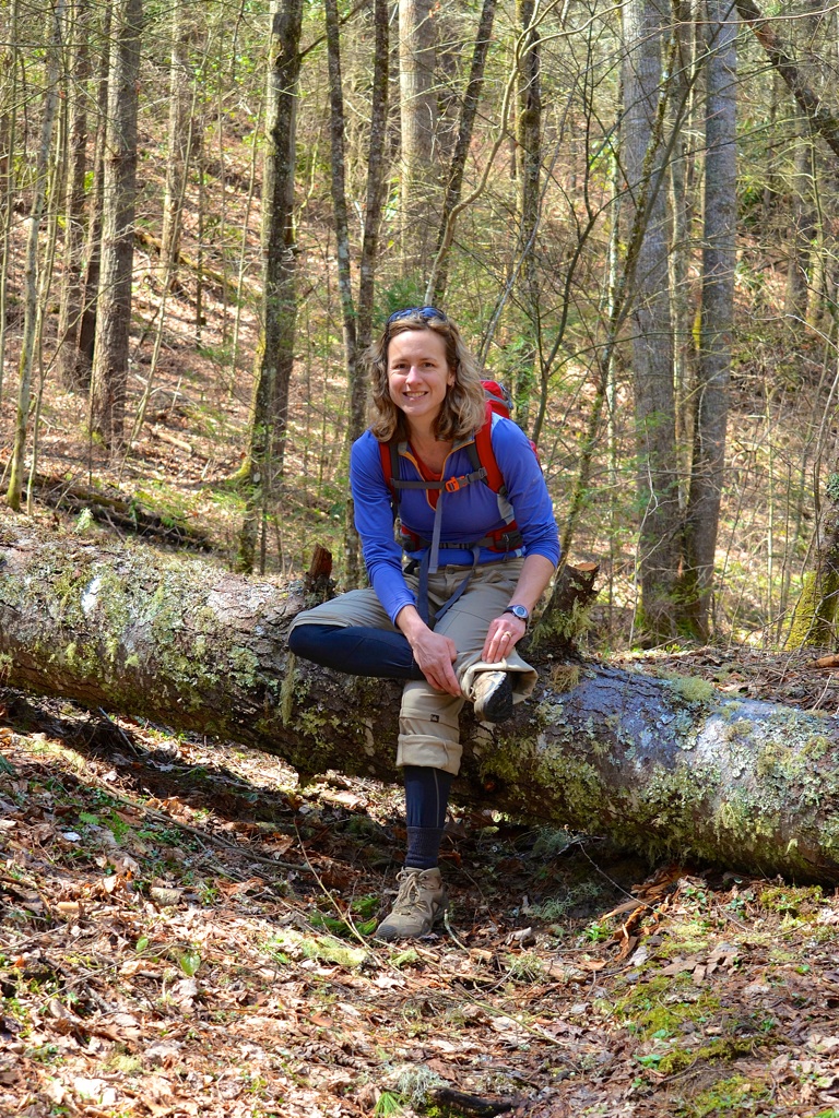
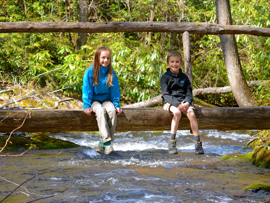
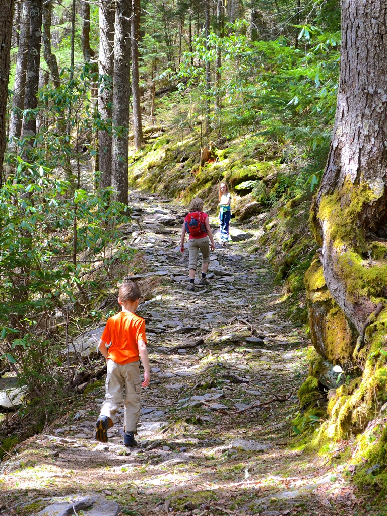
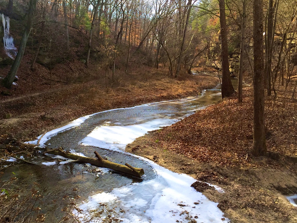
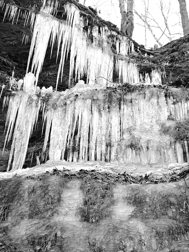
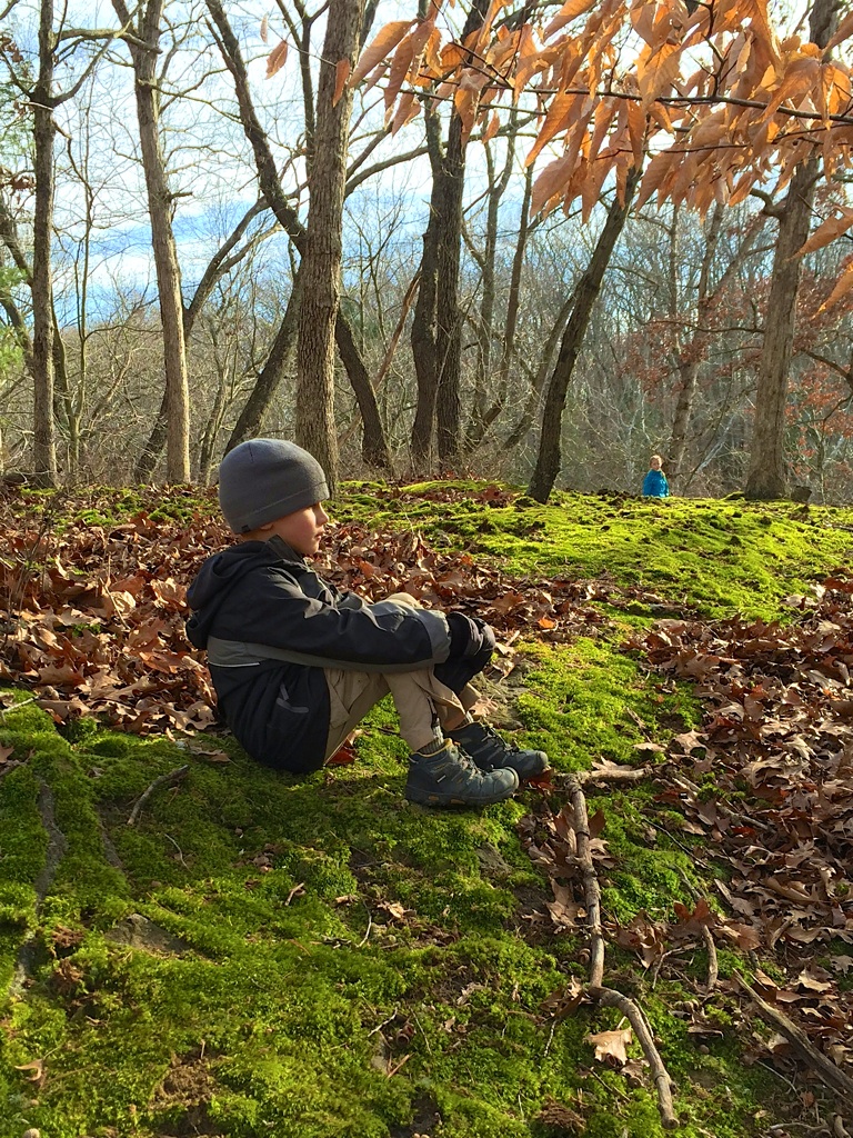
Starved Rock sits on the southern bank of the Illinois River, which during our visit, was quite swollen and had submerged most of the lower parking lot and riverside picnic areas. Park staff indicated it had been this way for several months. There are many canyons to explore — St. Louis Canyon is off the beaten path and we had the place to ourselves for a time. When you’re standing underneath a 80-foot waterfall, even a dreary, rainy day won’t dampen your spirits.

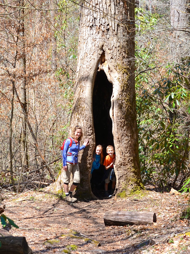
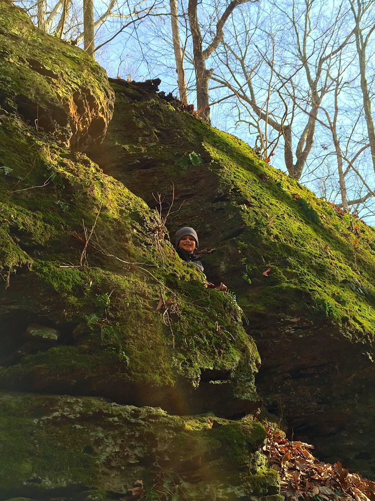
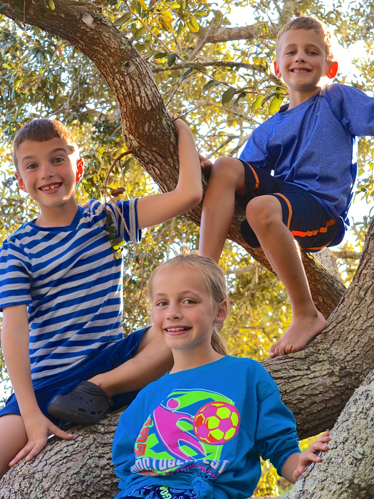
The campground sits outside of the main park area and does not have a store to buy firewood. We did find firewood from a nearby local who had cobbled together a makeshift camp store. More importantly, he suggested visiting Matthiessen State Park to get away from the crowds and mosquitoes. Another camper suggested kayaking the Vermillion River. Both ideas have been filed away for future trips. The kids had a great time exploring, finding a nearby raccoon den with baby cubs and more slugs than we could count.

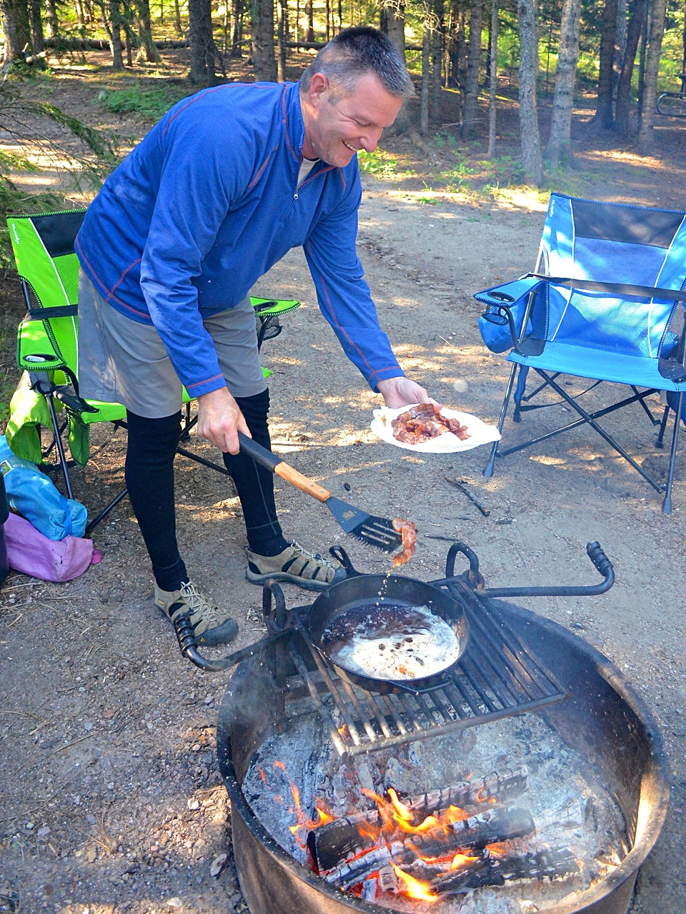
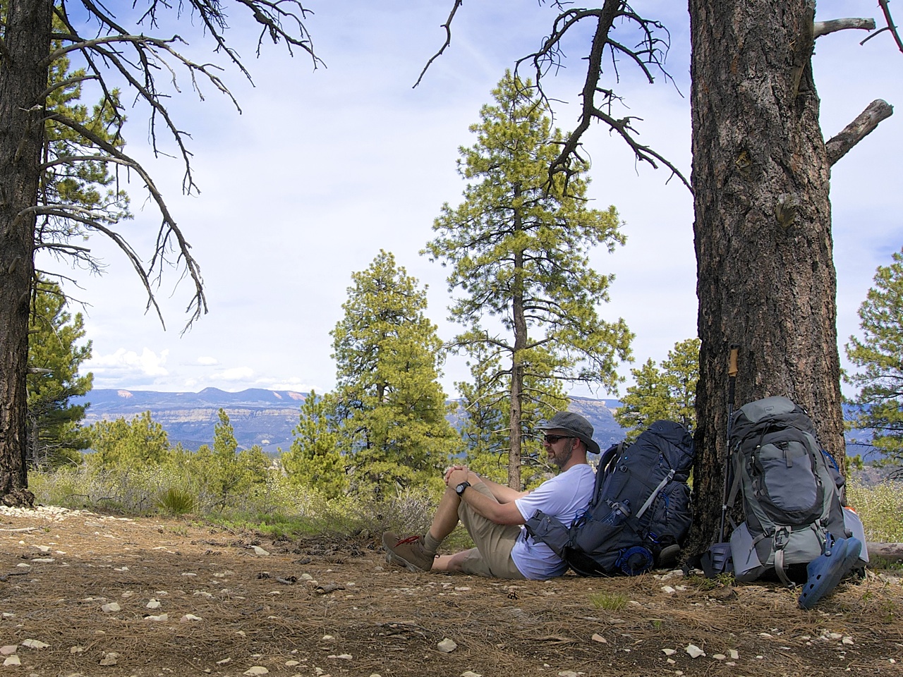
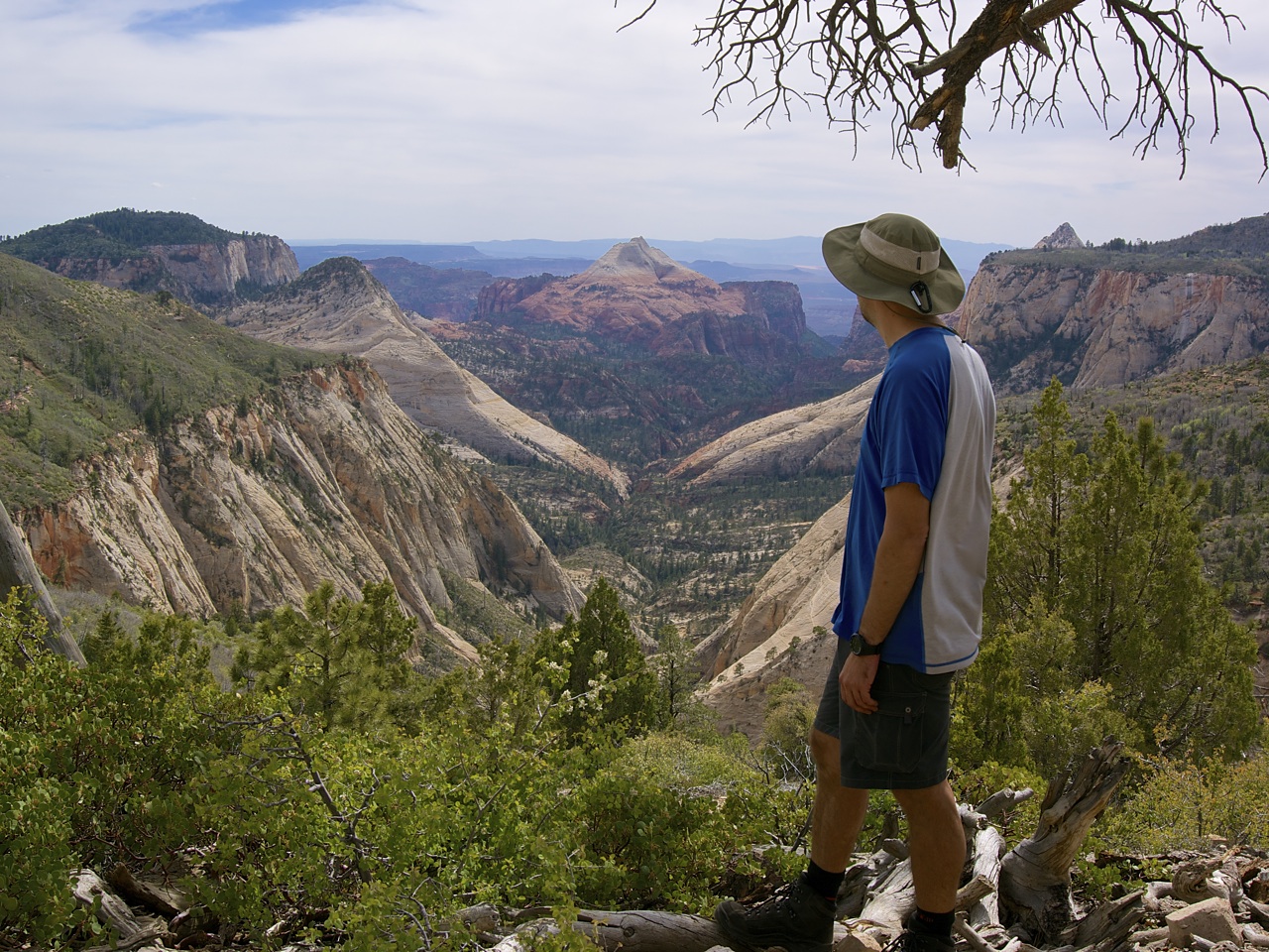
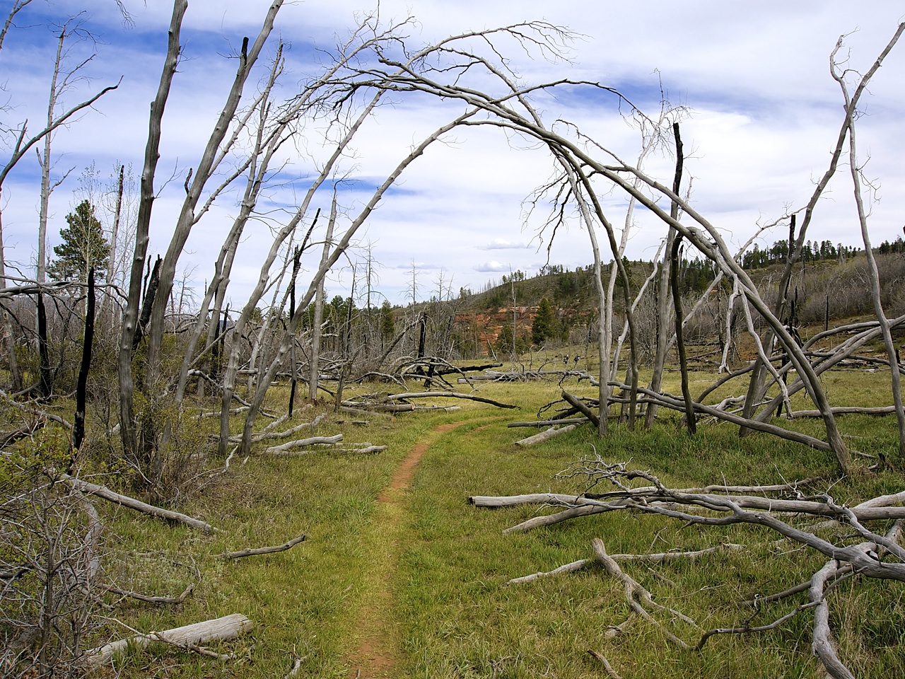
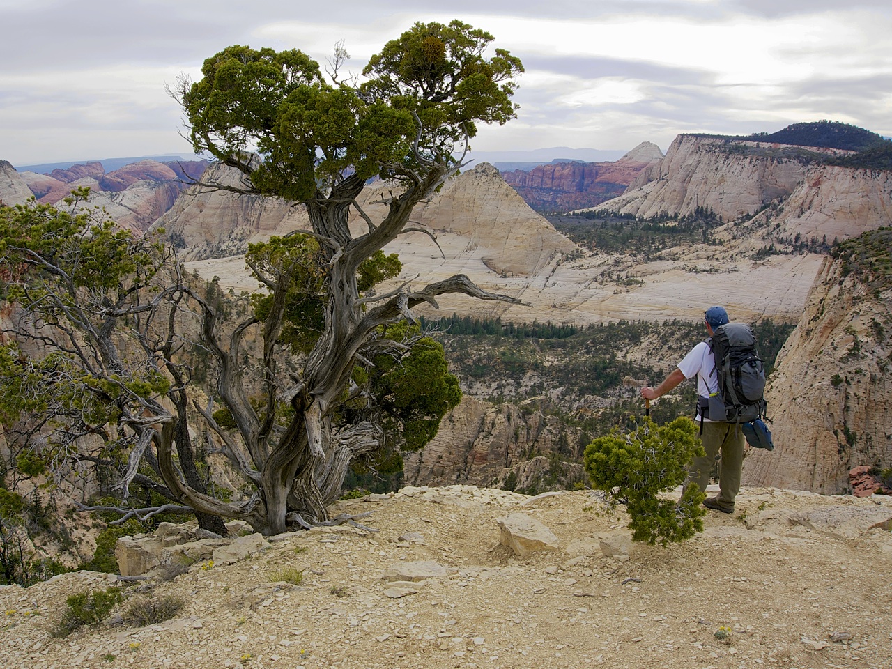
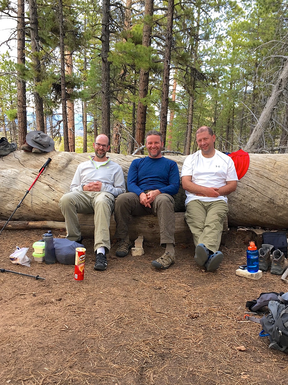
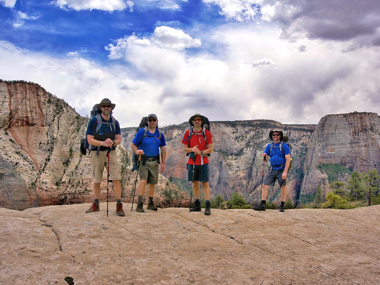
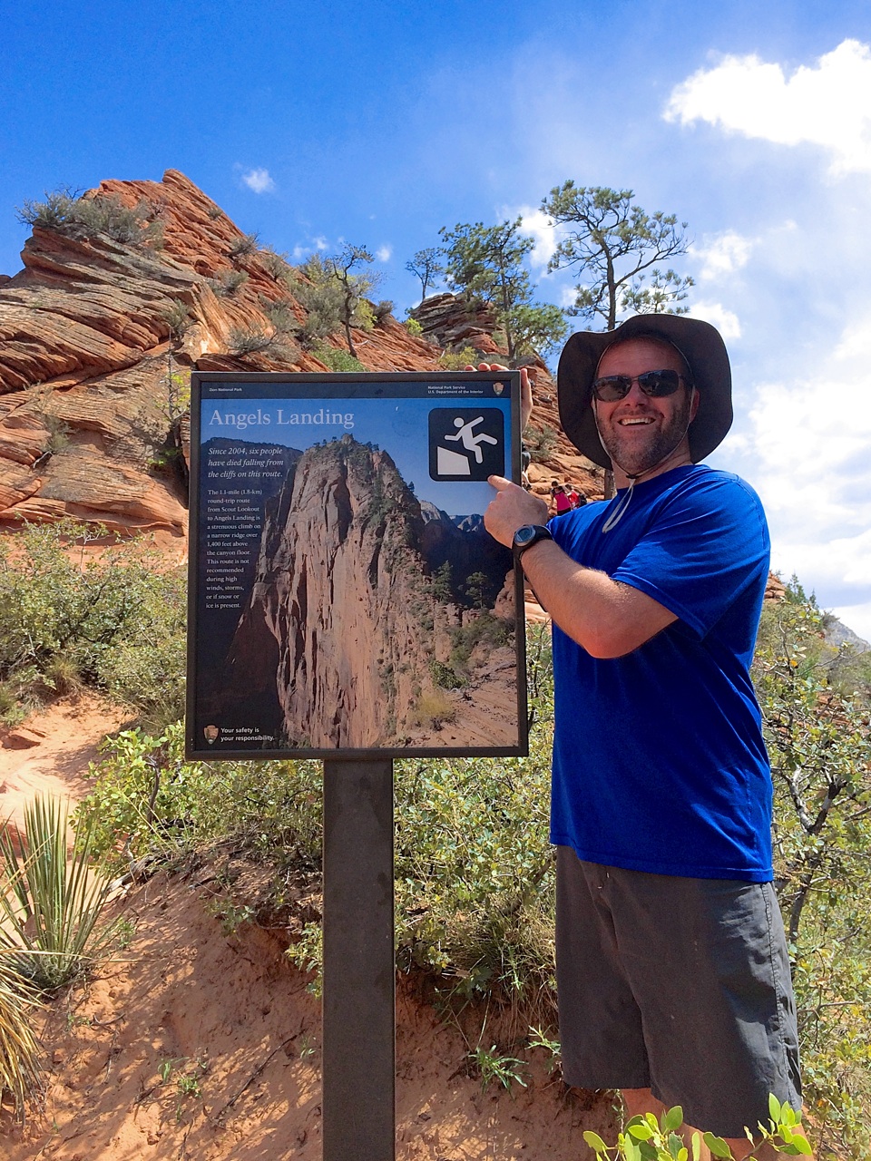
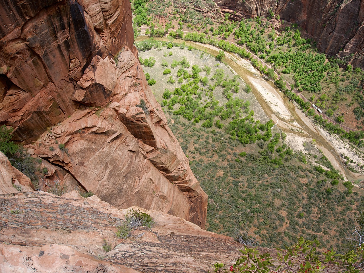
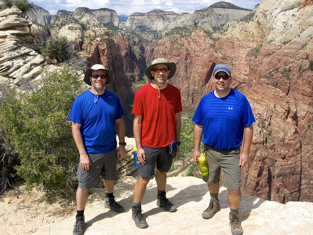
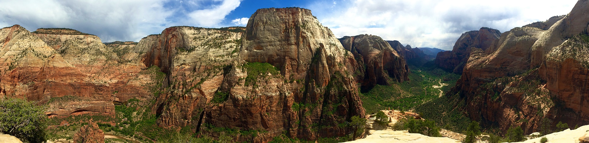
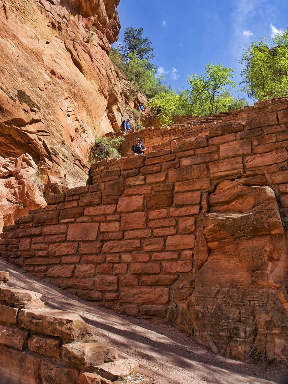
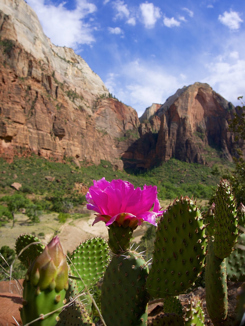
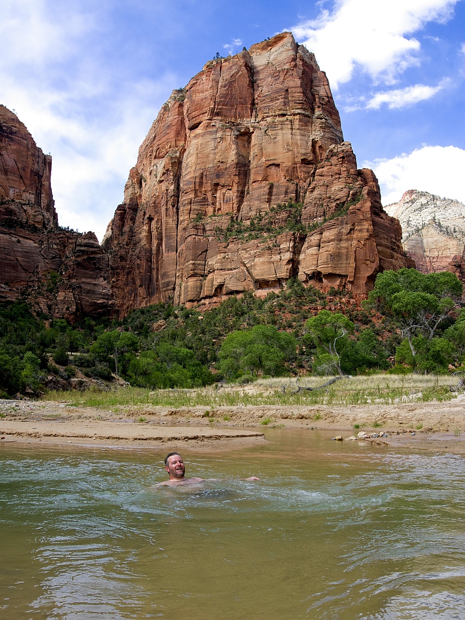
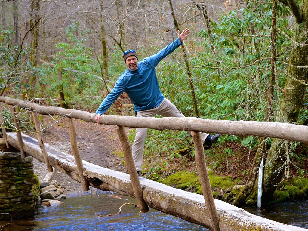
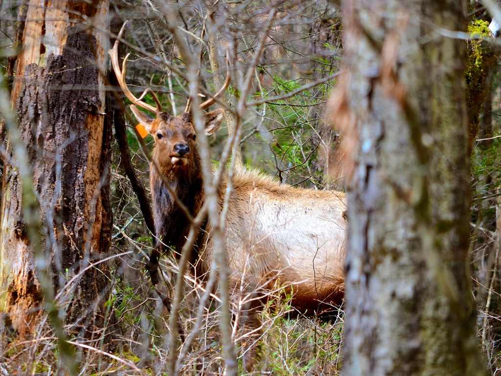
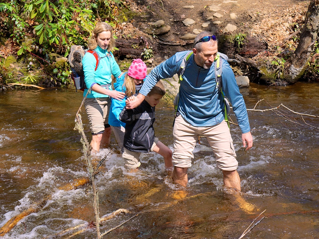
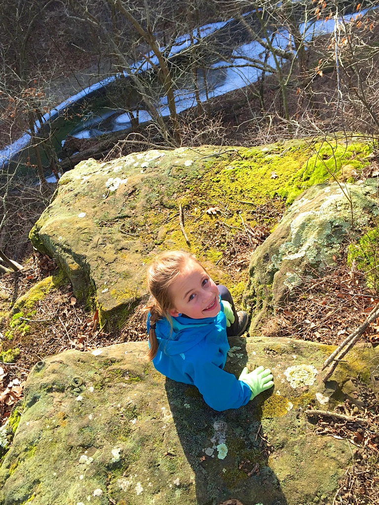
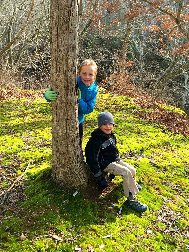
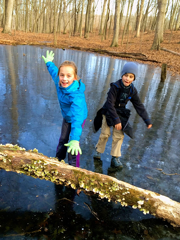
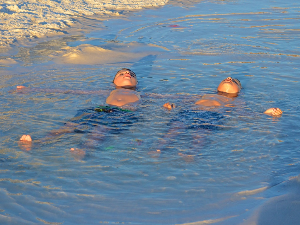
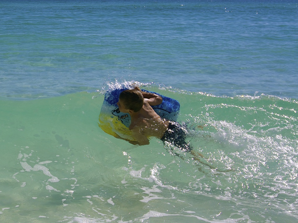
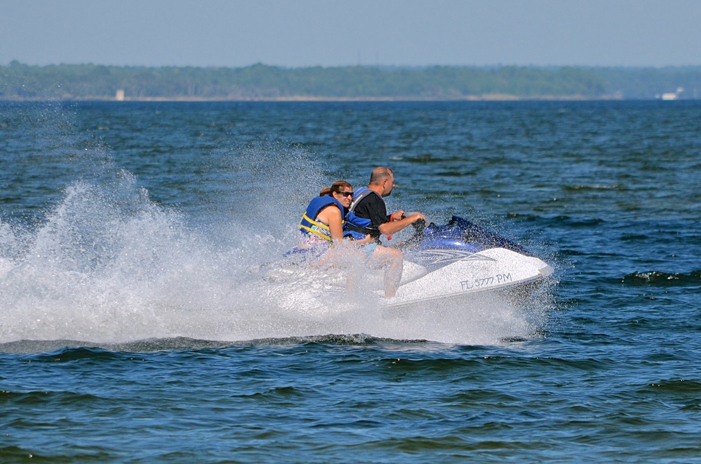
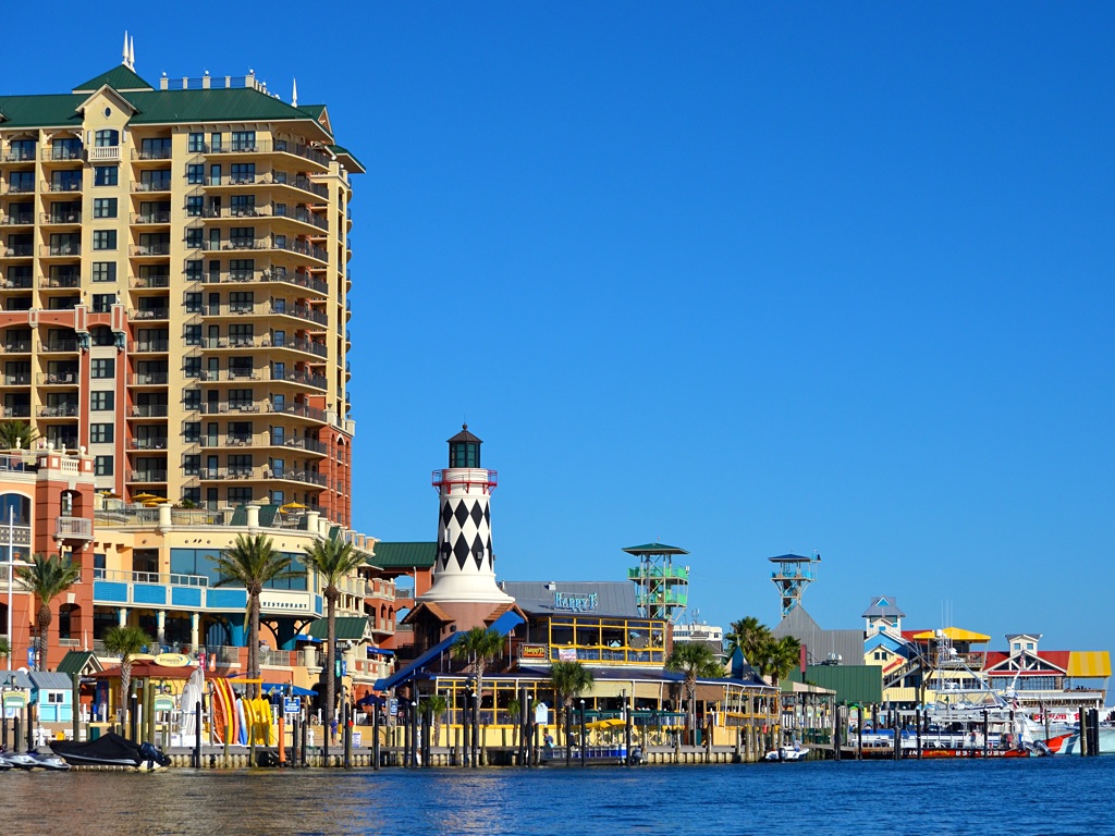
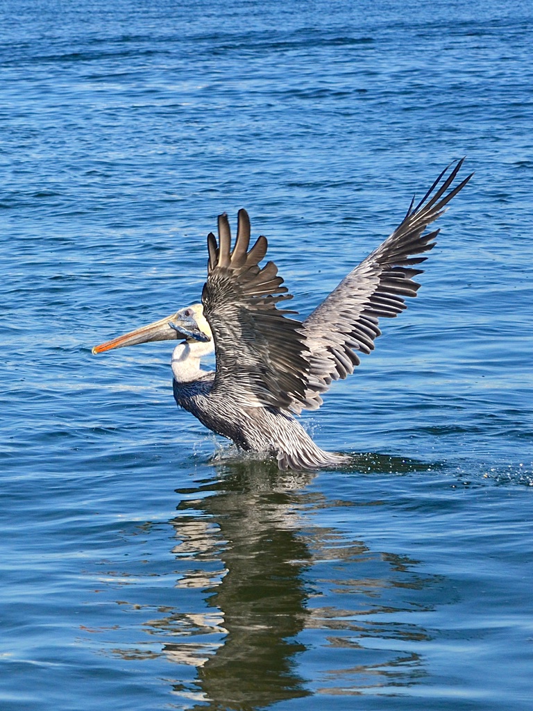
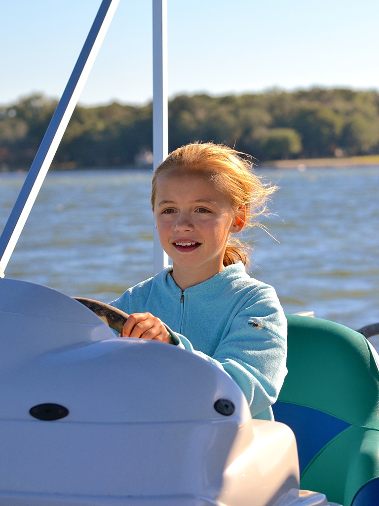
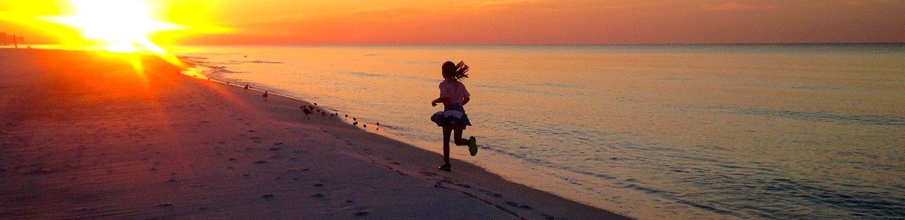
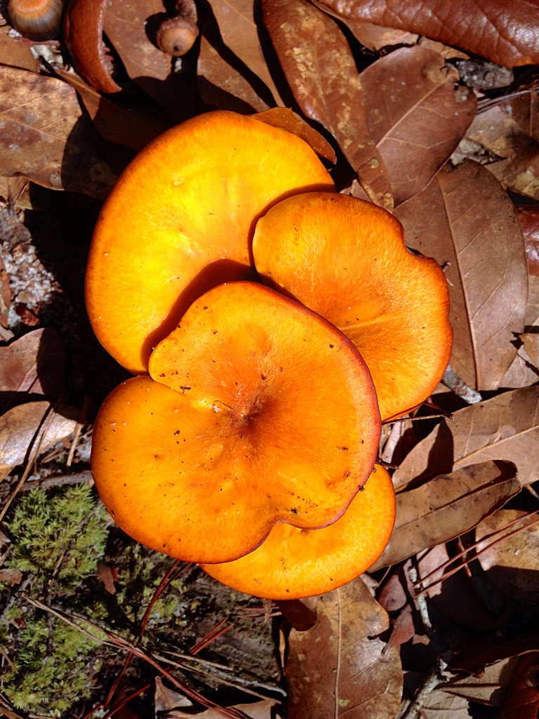
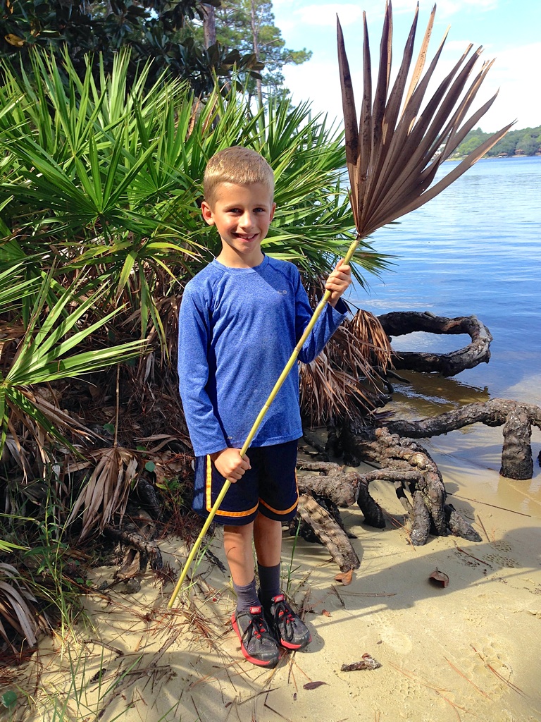
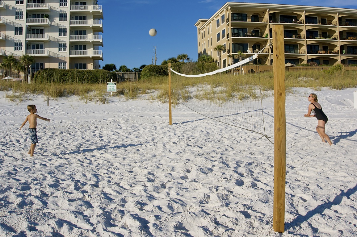
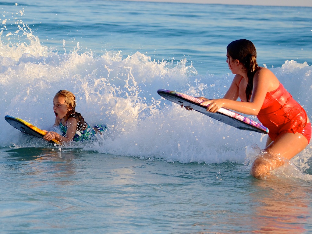
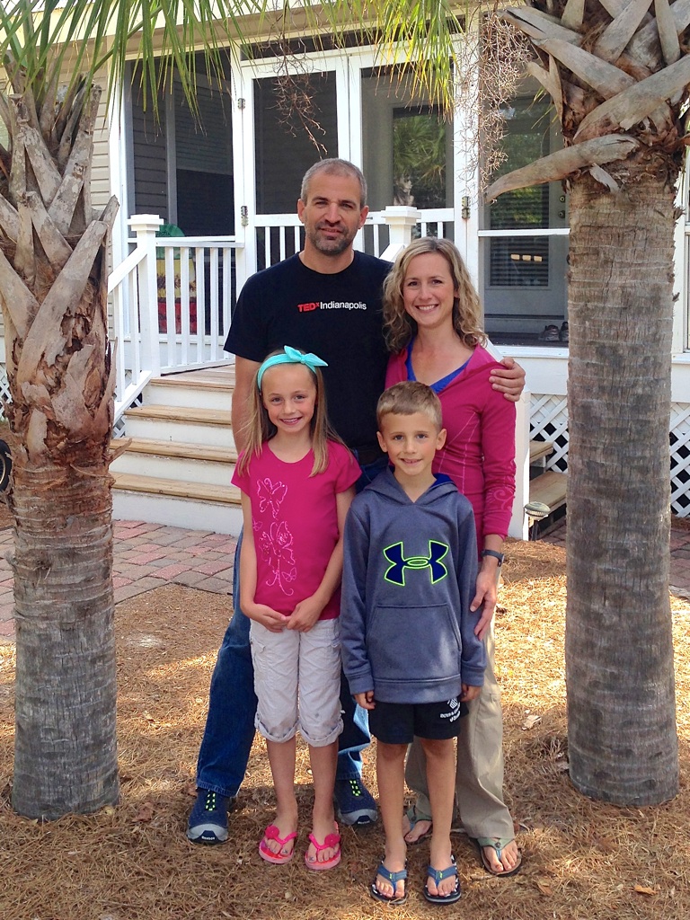
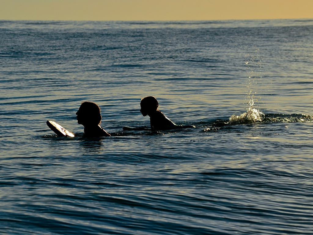
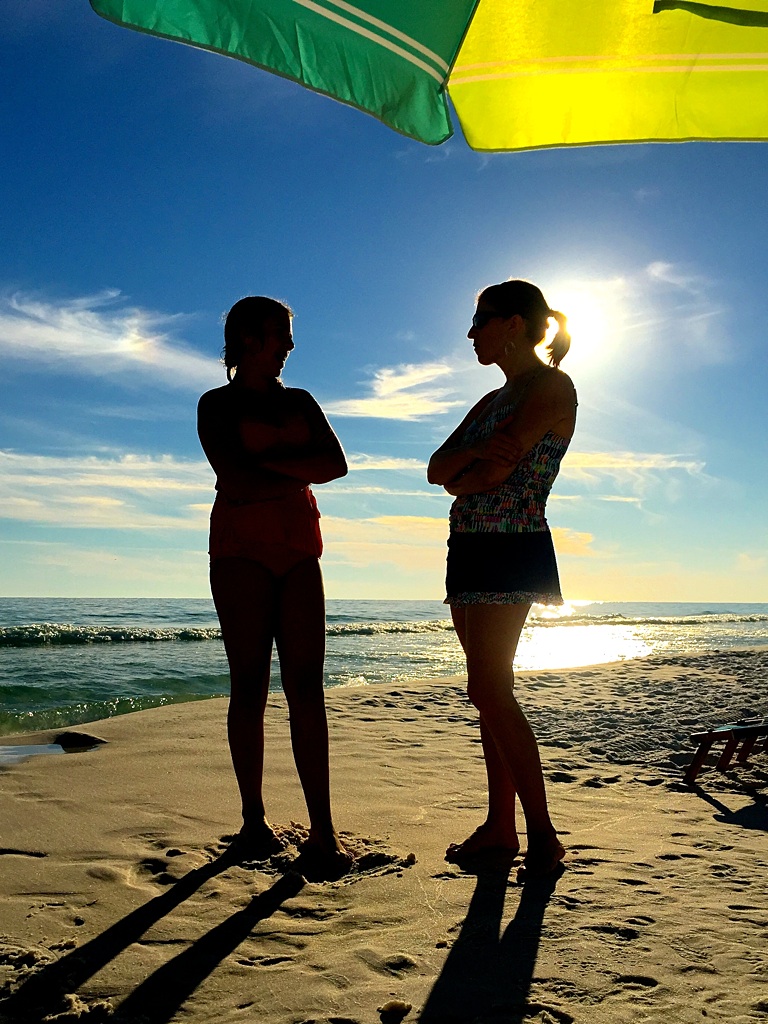
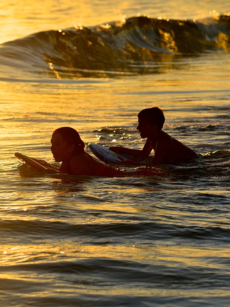
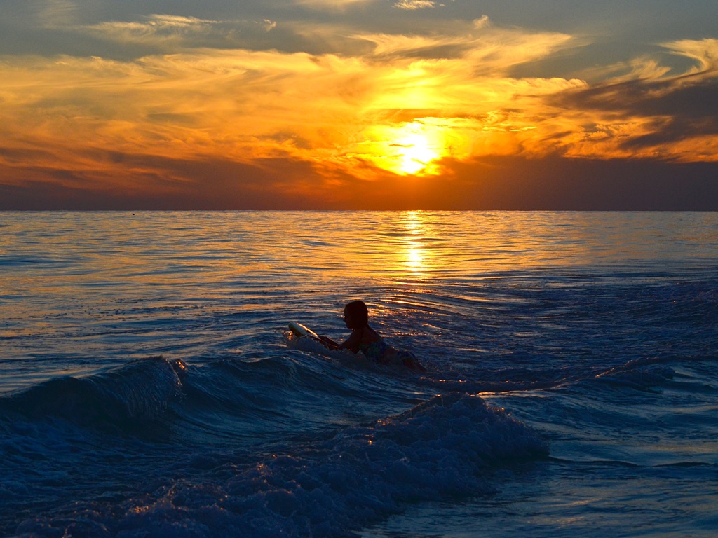
Tip: Click to enlarge. Use the ‘Left’ and ‘Right’ arrow keys to navigate the gallery.

Days 2 & 3 — Washington, IA

All play and no work makes for a boring vacation. Hrm... maybe I have that backwards? Anyhow, Washington is home to my Mom and Premier1Supplies, a long-time client of Rare Bird. Under drizzly skies we packed up camp and headed for Iowa. As we drove, the heat and humidity ratcheted to new levels. By the time we arrived in Iowa it was a veritable sauna. Fresh from our sweat bath, we decided to try John’s Shamrock BBQ in nearby Ainsworth. I enjoy eating locally whenever possible and the Shamrock did not disappoint. Dirk loved it so much he added BBQ ribs to his favorite foods list. Unfortunately for me, this list also includes steamed crab legs. The kid is getting expensive!

I worked at Premier on Friday while the rest of the family visited Washington’s public swimming pool. The kids reported that it was “Amazing!” and “Super-fun!”, except for the mandatory swim test, which Dirk remains disgruntled about.

Days 4 & 5 — Eugene T. Mahoney State Park, Ashland, NE

Our next stop was Mahoney State Park, roughly half-way between Omaha and Lincoln. Melanie’s side of the family had scheduled their annual reunion in Nebraska, a first for the Springers.

I suppose Mahoney State Park is technically a park. It says so on the sign. It’s outside and there are a few nature trails (overgrown) that overlook the Platte River. But, traveler beware! This is not a place of solitude with an absence of human activity. Quite the opposite. It feels more like Central Park in New York City than a rustic natural setting in rural Nebraska. It was a sunny summer weekend, so perhaps the crowds were exceptionally high. Once my expectations were reset, I was able to better enjoy the park and it’s many amenities. The on-site melodrama was a hoot, and the swimming pool, while crowded, had something for everyone. This would be a good place to bring bicycles as there are paved paths between destinations. I didn’t notice the disc golf course until the end of our stay, but it looked really nice, too.

We pitched the GO in the Little Creek Campground. The sites are cramped, freight trains run through every 1/2 hour and the road noise from I-80 ceaselessly reverberates. If you must camp here, I recommend sites #26 or #27. They are larger than most of the others, more wooded and further away from neighboring sites. The bathhouse was clean with vending machines and even a laundromat. Yet another midsummer rain shower made breaking camp soggier than desired.

Day 6 — Smith Falls State Park, Valentine, NE

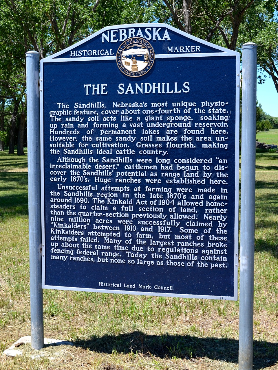
Now we’re getting nowhere. Finally! I was dreading the drive through Nebraska, but this turned out to be my favorite part of the trip. Imagine the Sahara Desert, then cover the sand dunes in scrubby grassland plants. Add a few hundred-thousand cattle and the occasional windmill. Finally, snake a single two-lane road through an area that is 20,000 square miles and you begin to get the picture. Shadows of Gus and Call’s epic cattle drive blurred my vision.*

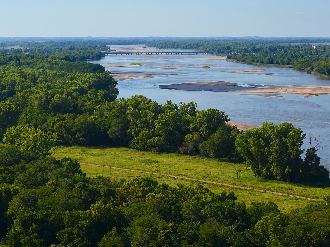
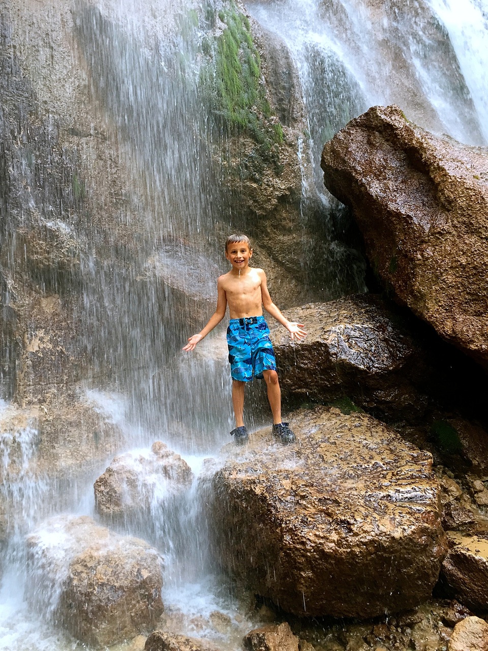
At the northeastern edge of this expanse lies Smith Falls State Park and Nebraska’s tallest waterfall. Not only is this waterfall 60-feet tall, it’s fed from the Ogallala aquifer which surfaces throughout the Sandhills to create shallow lakes and cascading waterfalls along the Niobrara River. If Mahoney State Park is at one end of the back-to-nature spectrum, then Smith Falls State Park is at the opposite. It’s small and out of the way, but worth the visit. There is a single hiking trail that didn’t appear to get much use.

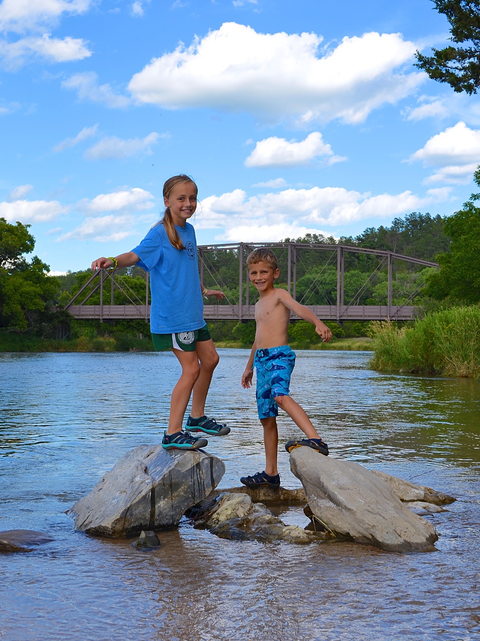
The campground is fairly open and geared towards tent campers. There were five sites which allowed a small camper. It was only 20% occupied on the night we were there. I get the sense that people visit the park to see the waterfall and leave, or as a stop-over on a multi-day river trip. I’d like to return one day with kayaks and paddle the Niobrara — what we saw of it was quite scenic.

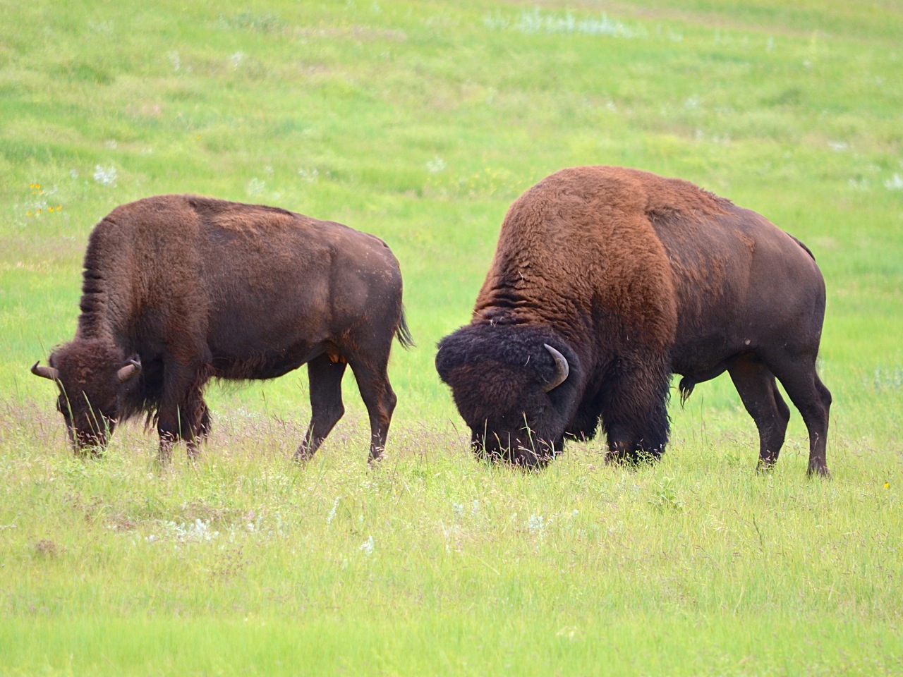
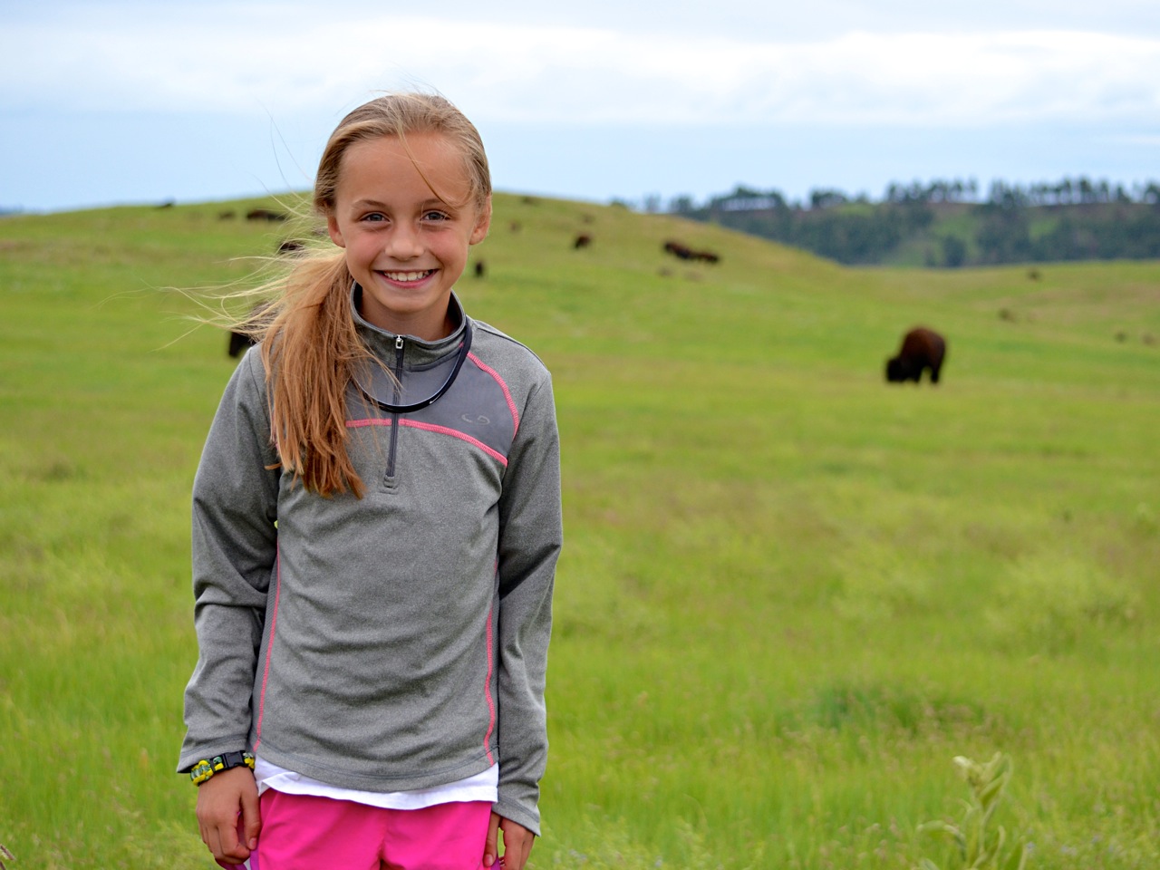
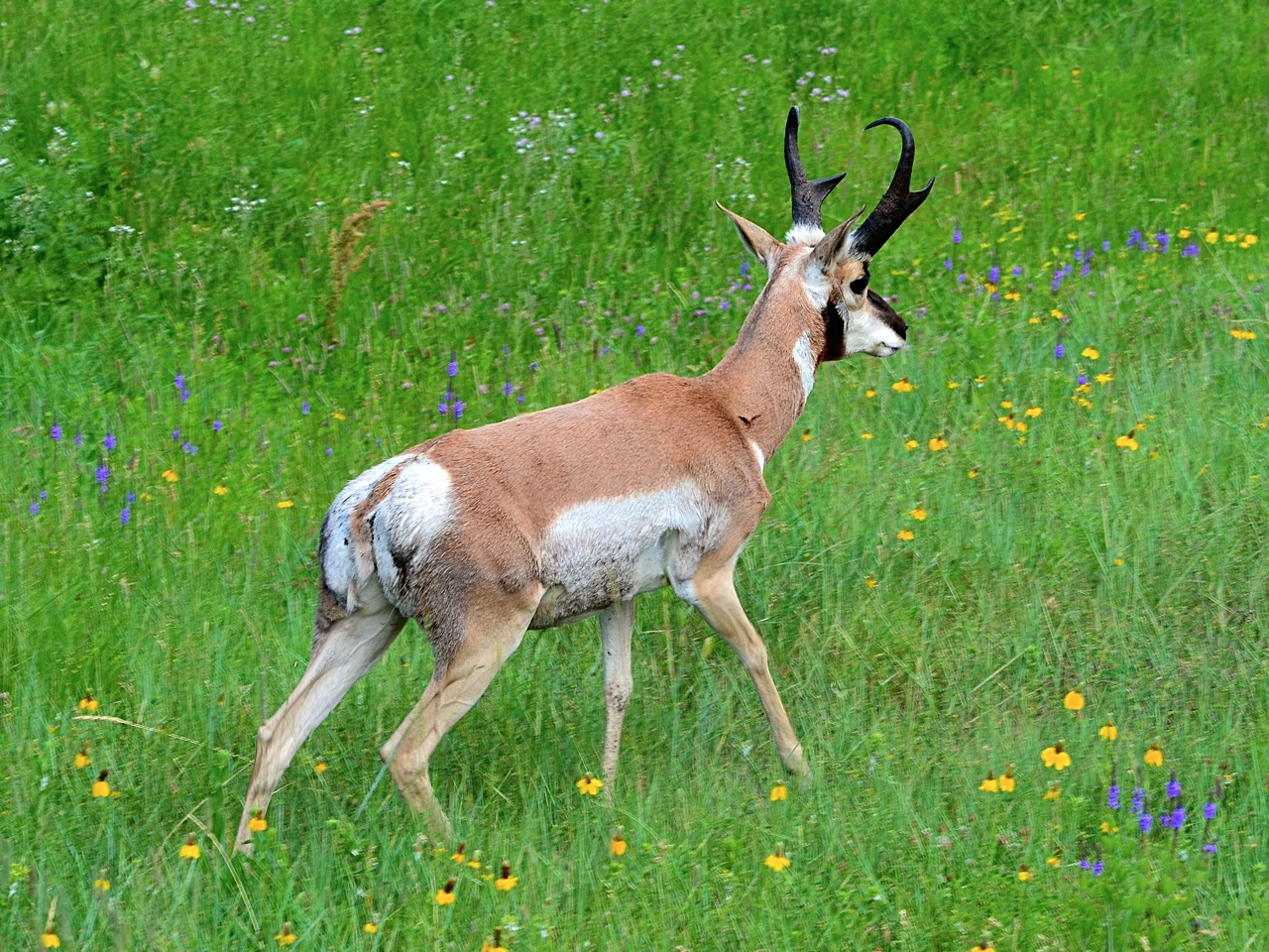
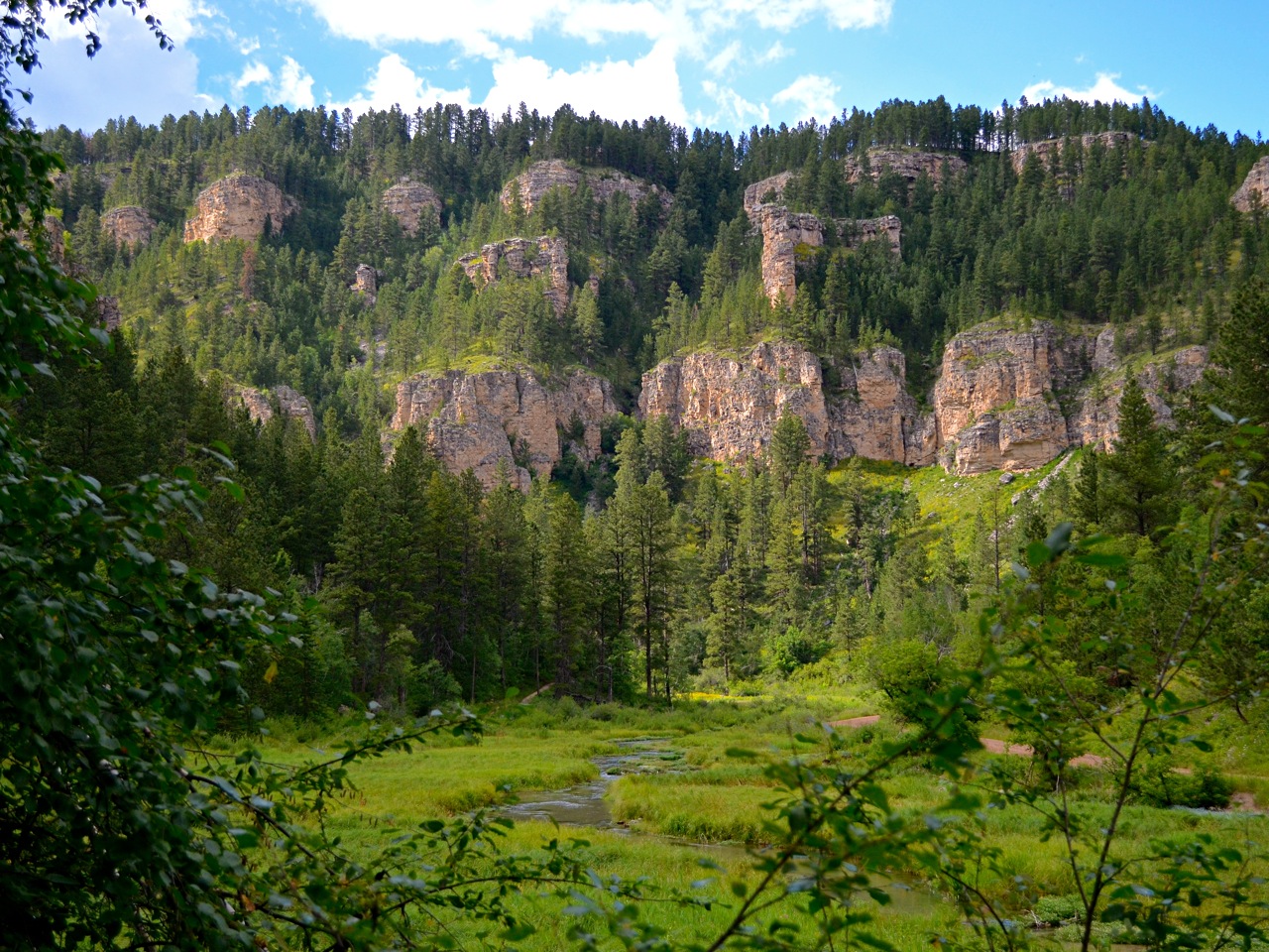
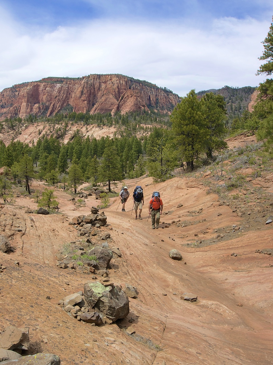
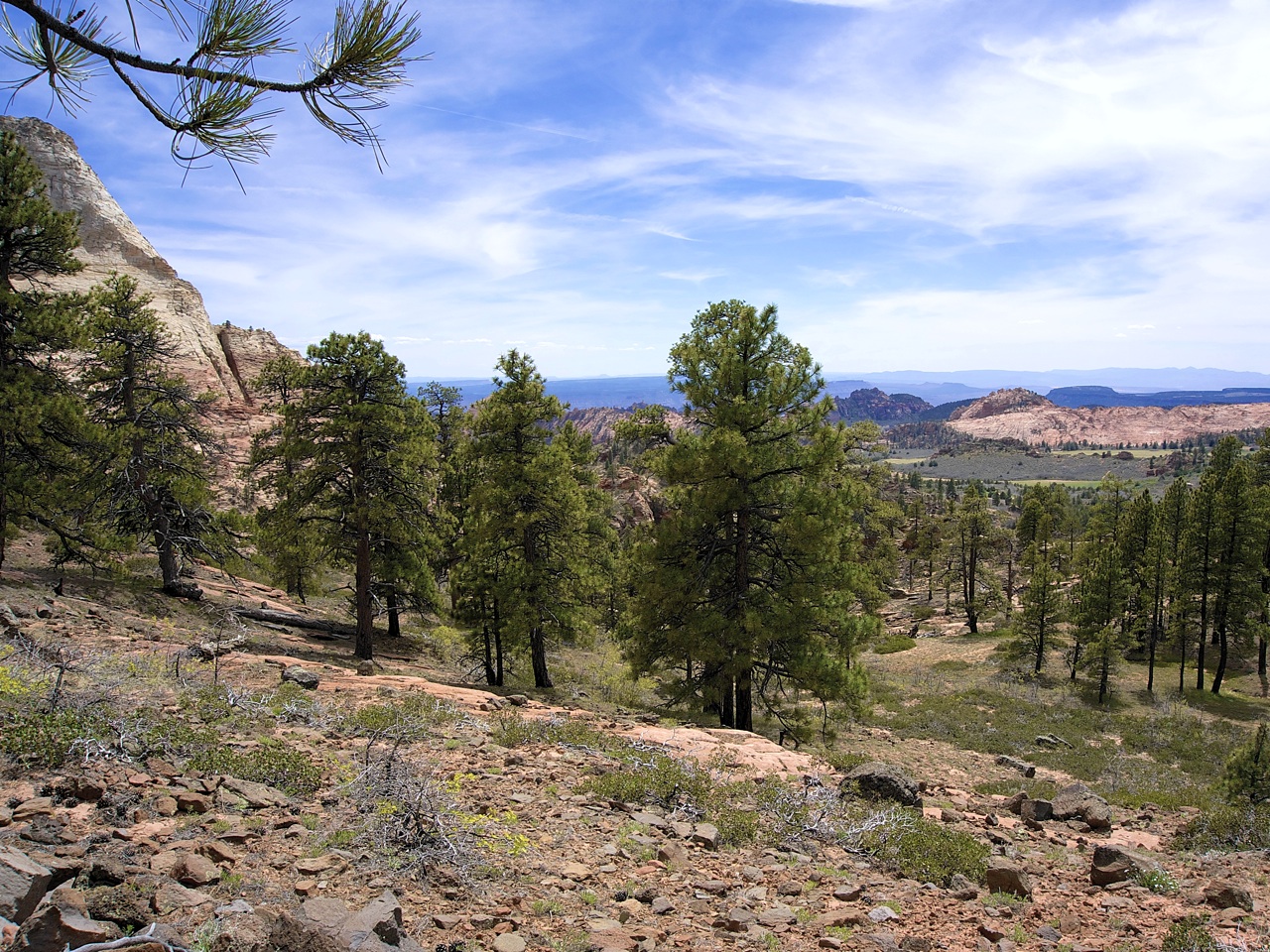
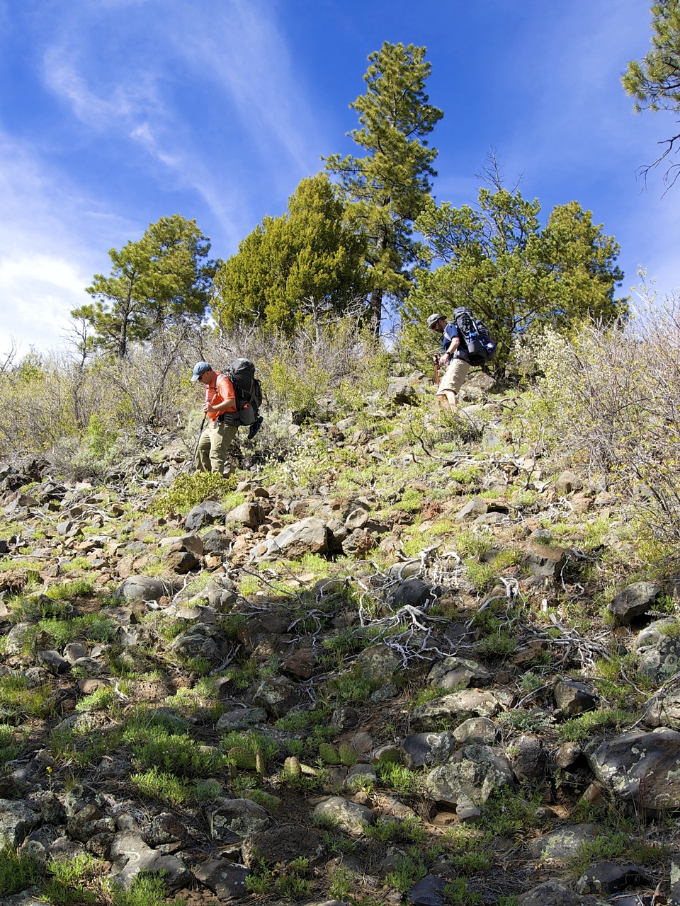
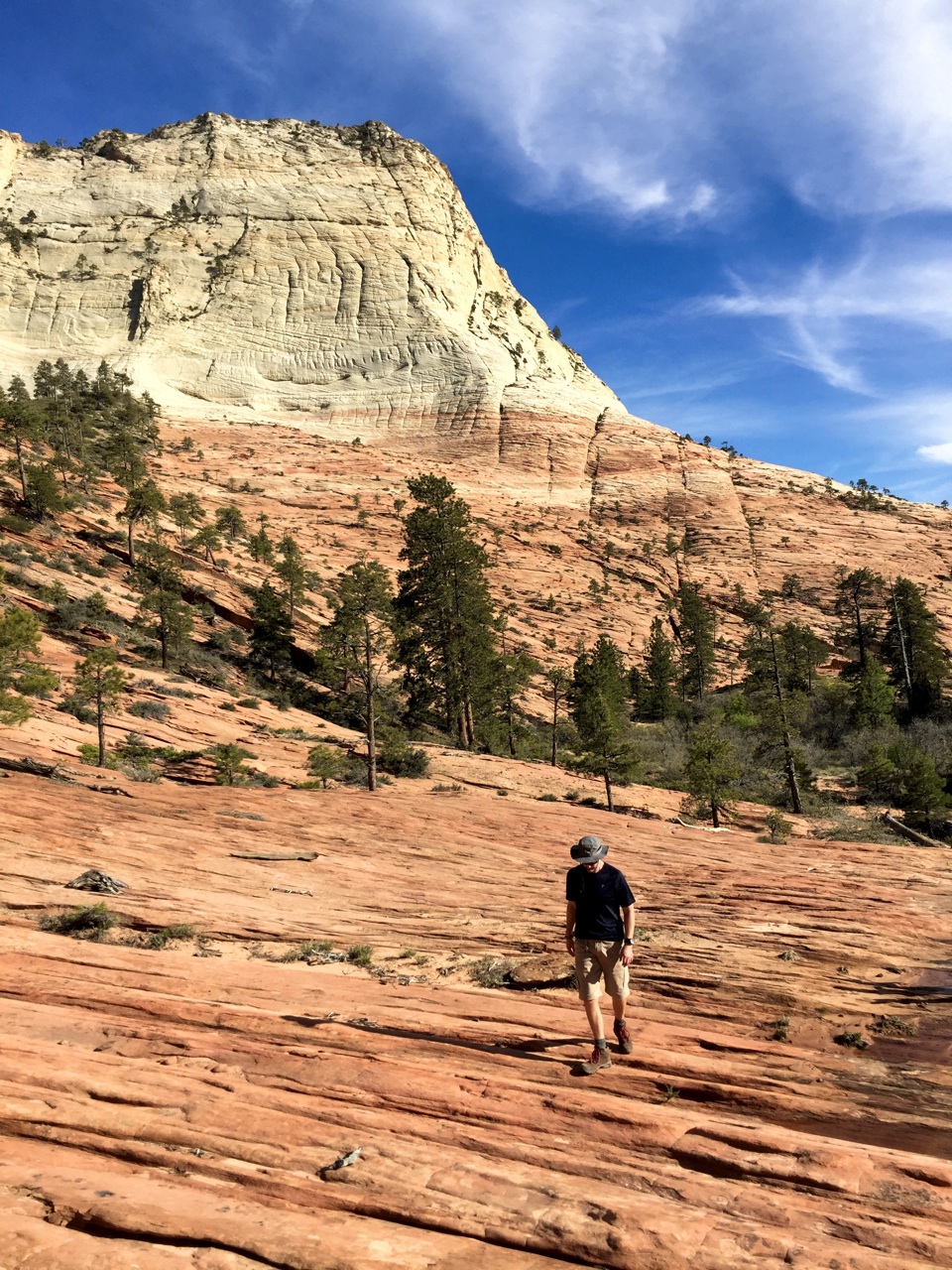
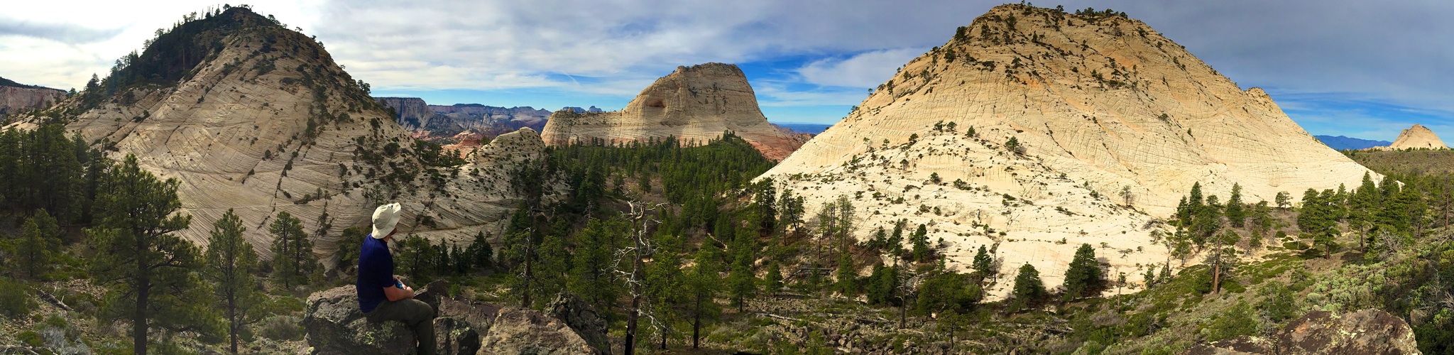
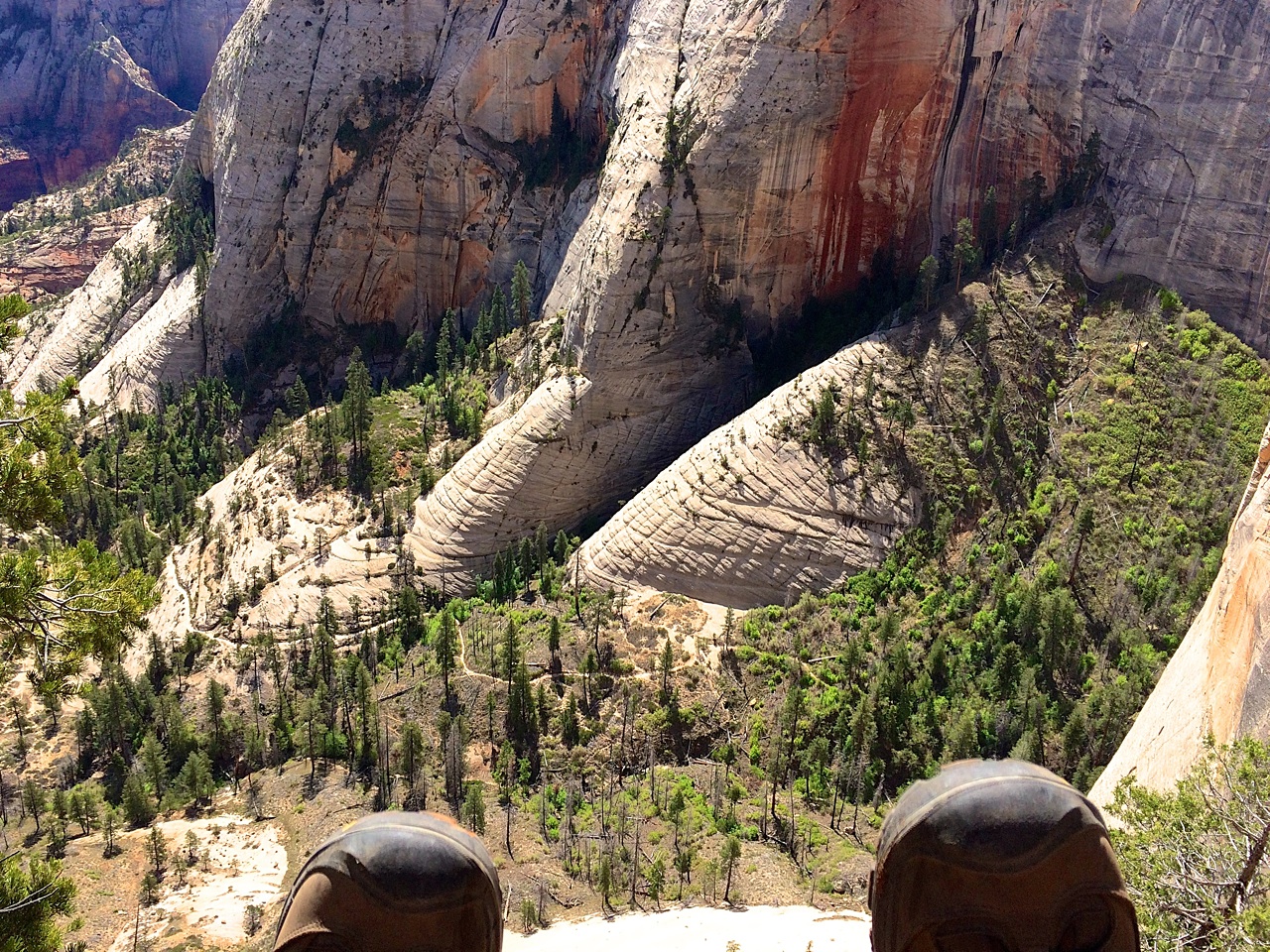
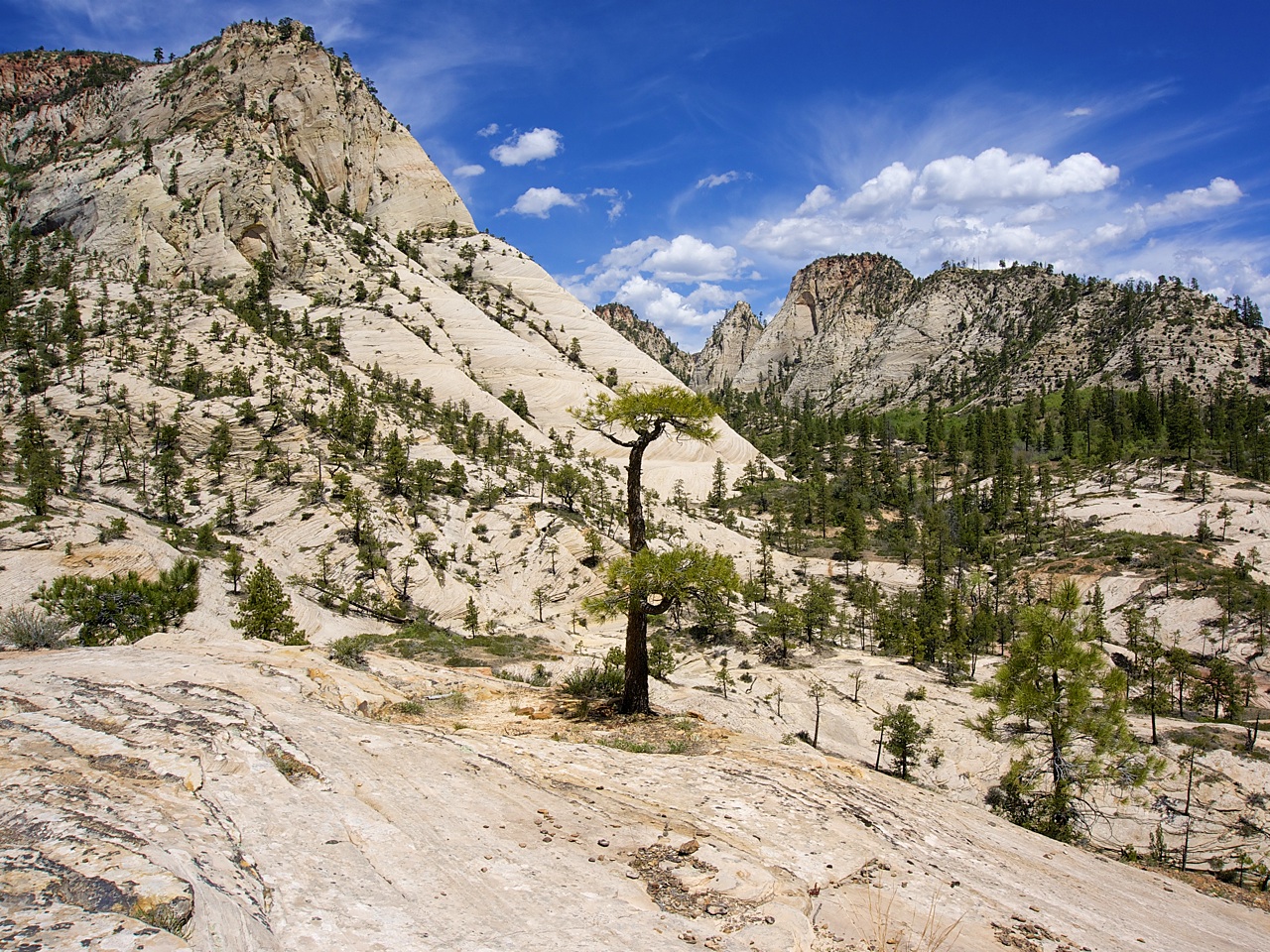
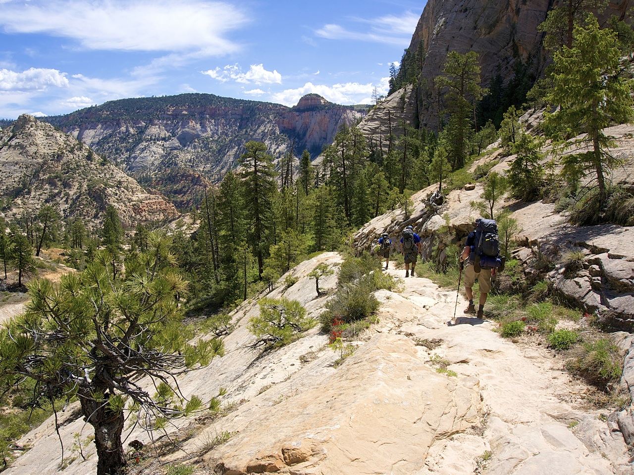
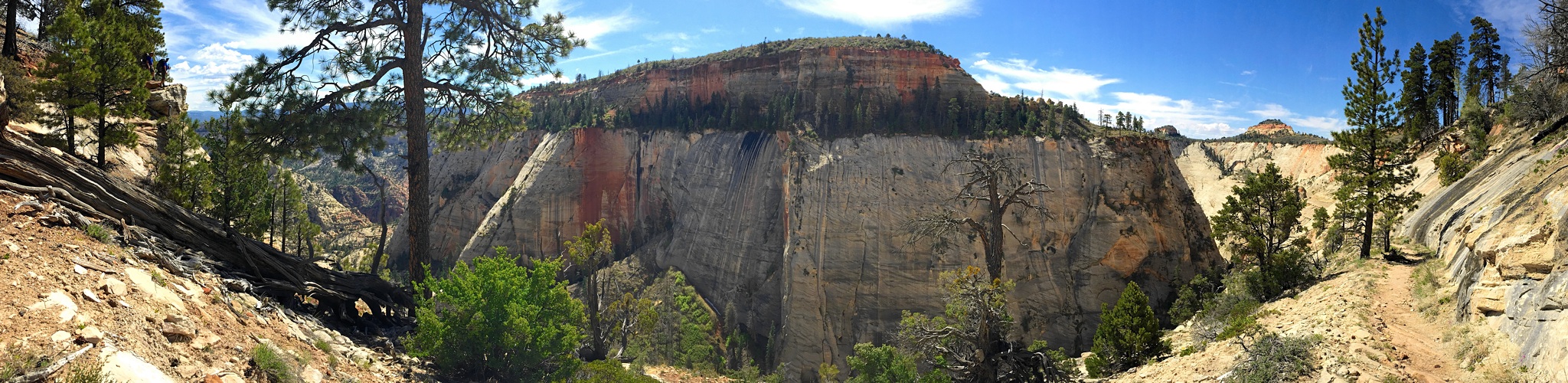
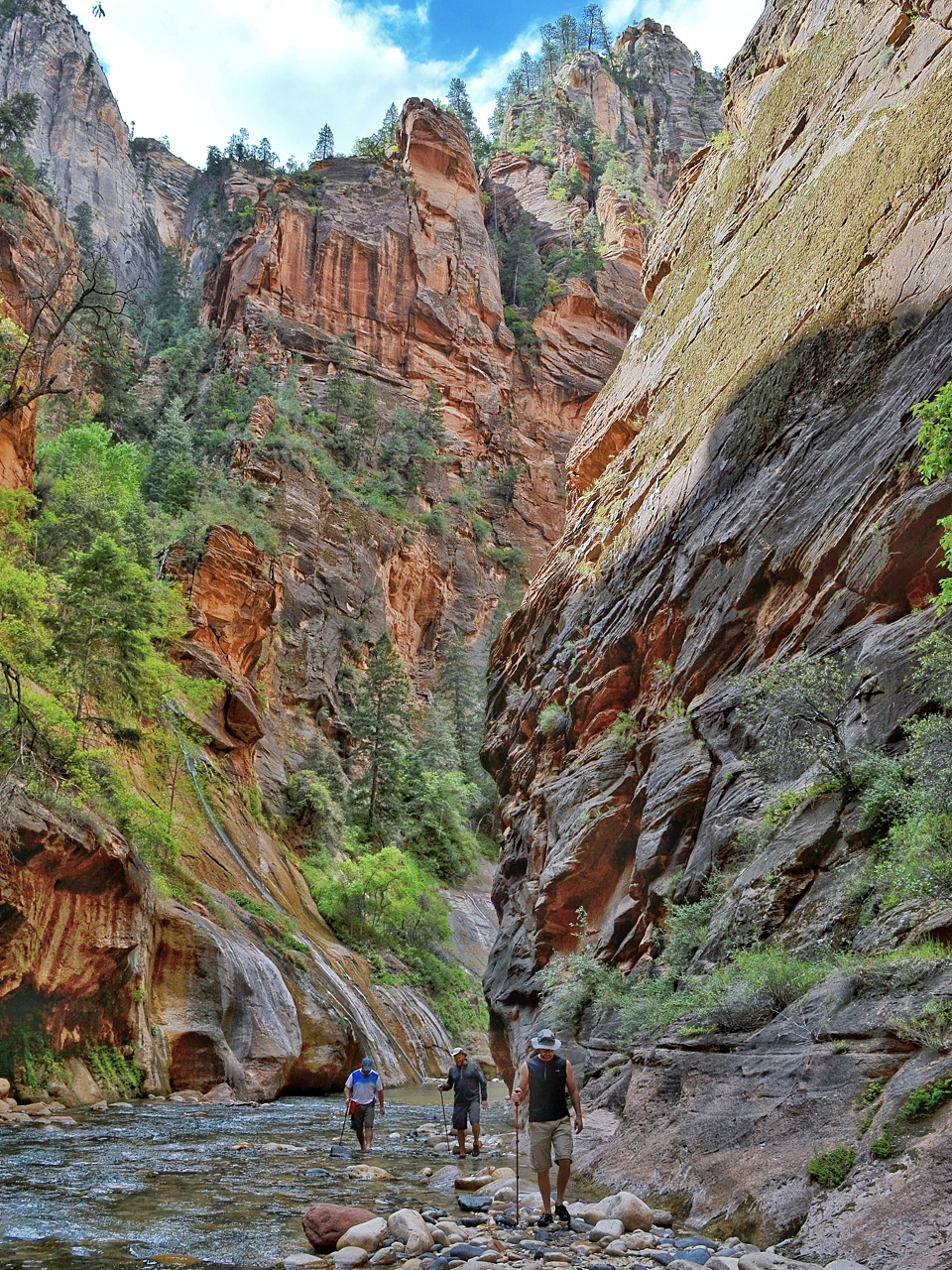
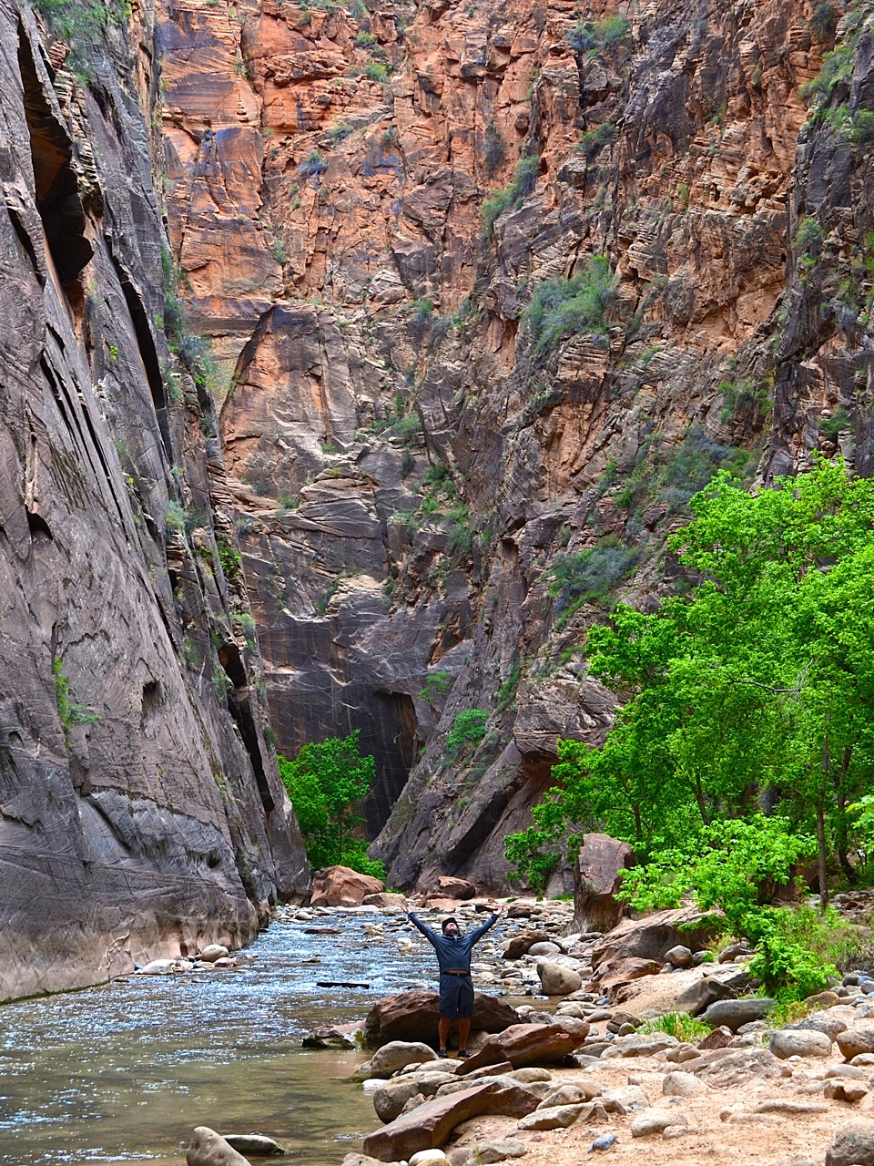
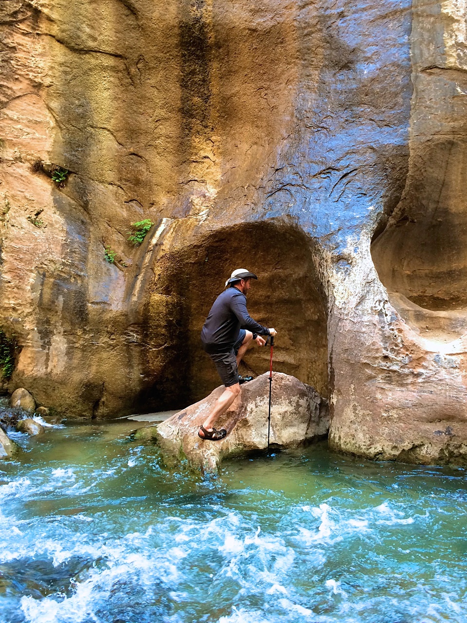
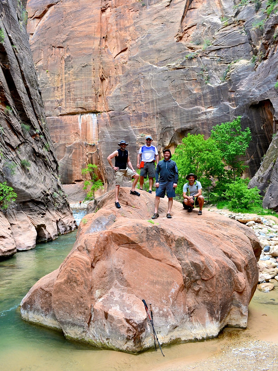
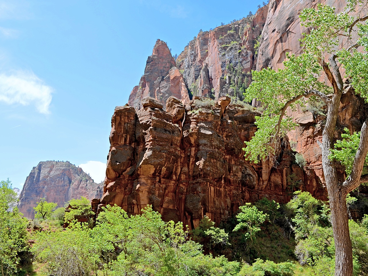
Days 7, 8 and 9 — Custer State Park, Custer, SD

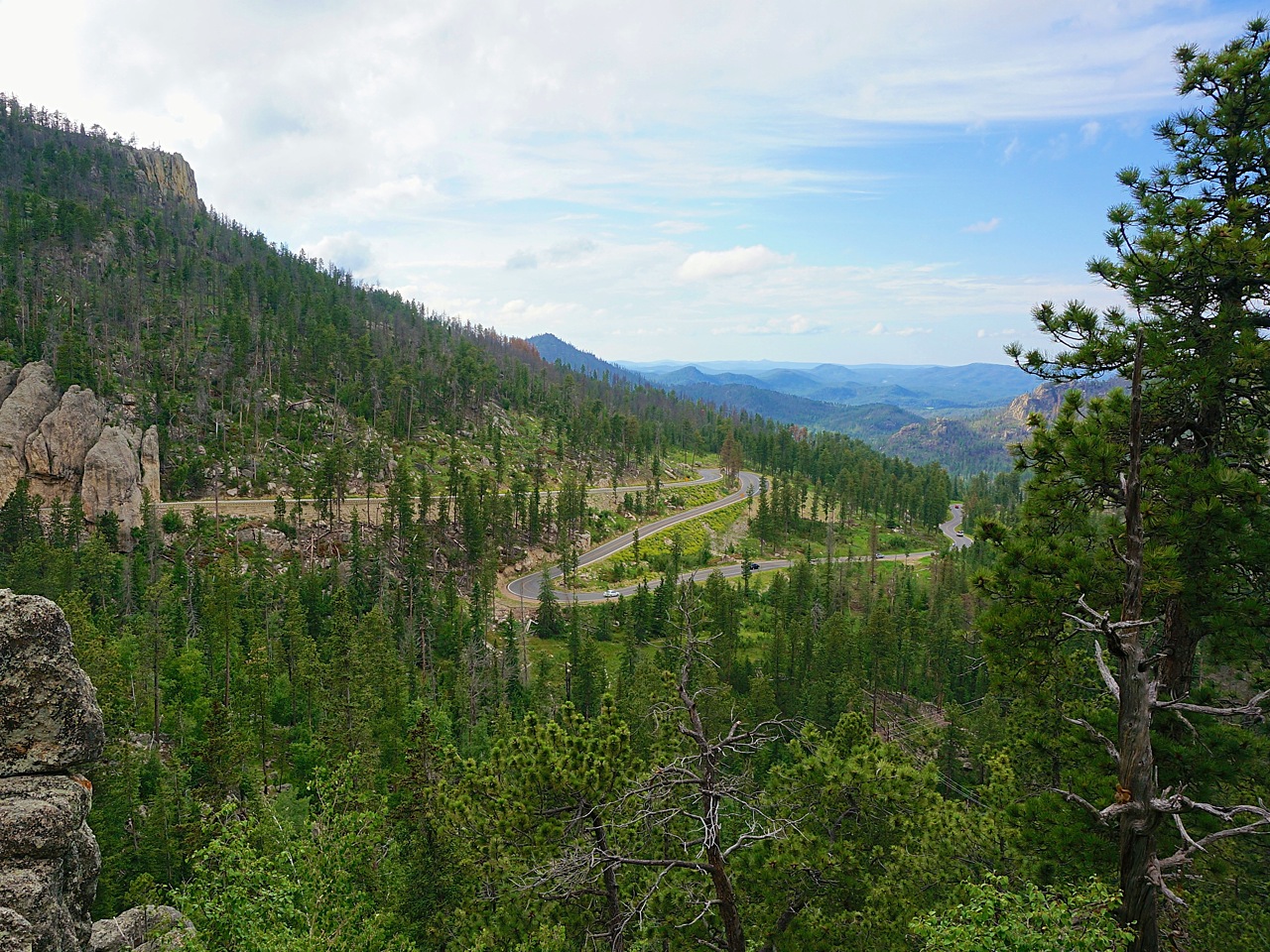
The Black Hills is many things to many different people. To some it provides a welcome escape into a cool pine forest ripe for exploration. To others it is a web of single lane byways that is best experienced on two wheels. Still others will come for the classic tourist destinations: Mt. Rushmore, Devils Tower, Deadwood, Sturgis and Custer State Park to name only a few.

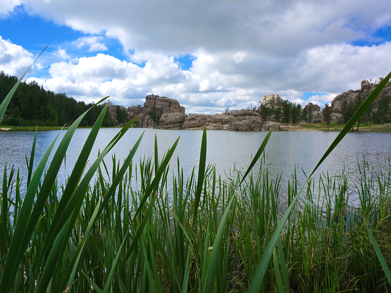
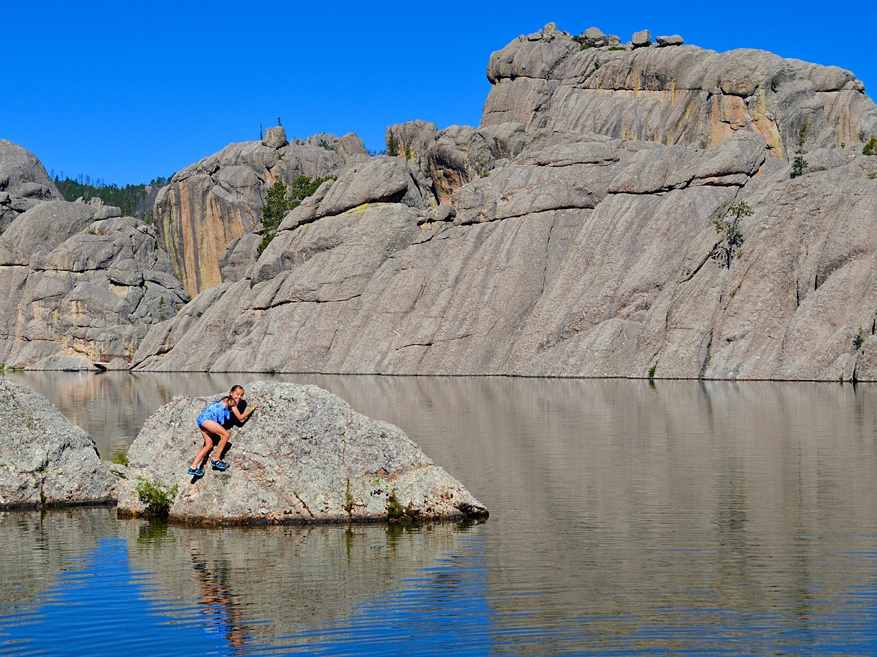
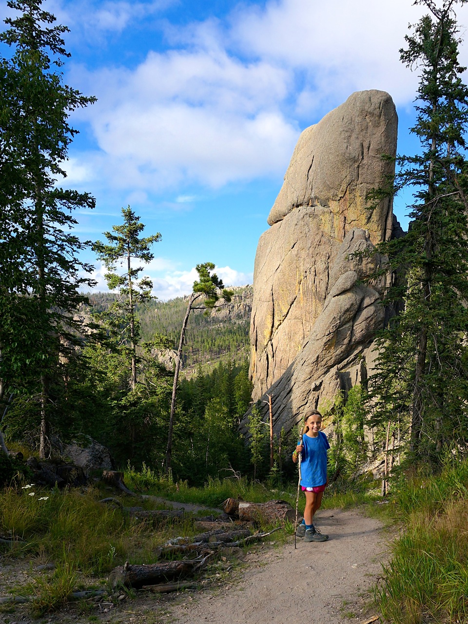
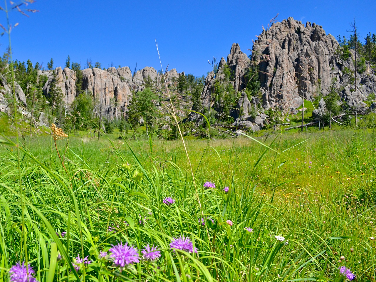
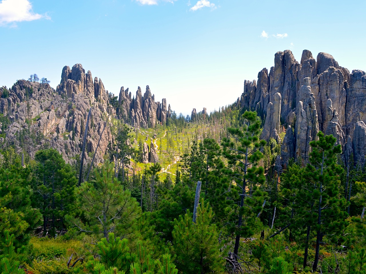
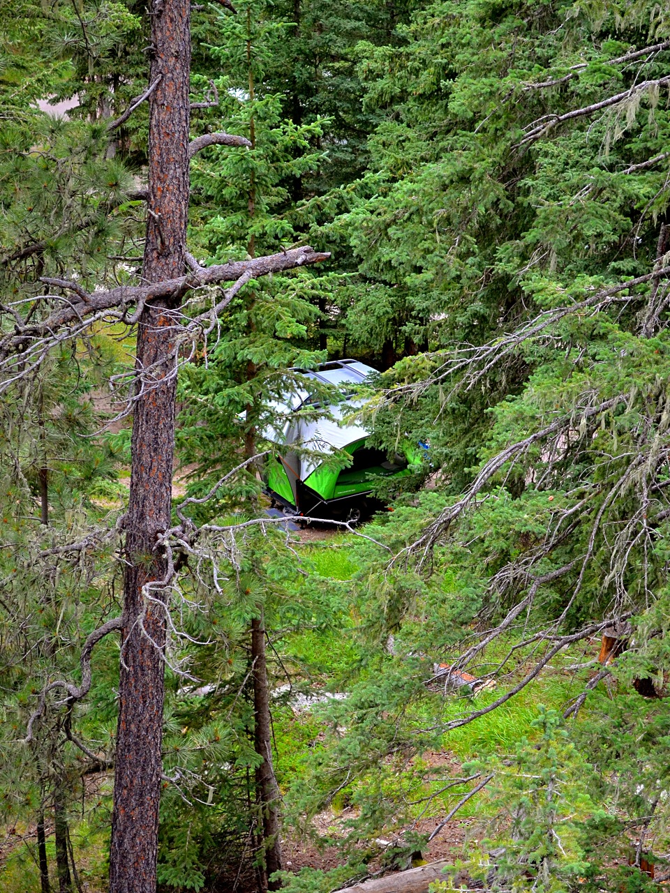
We opted to camp for a few days in Custer State Park. This park is nestled in the heart of the Black Hills and provided us with a central base camp in a natural setting. After setting up the GO at quite possibly my favorite campsite of the trip (Sylvan Lake campground site #23), we set off to explore the Sunday Gulch Trail. After a series of blasé trails in Nebraska, this footpath set the table for the grandeur ahead.

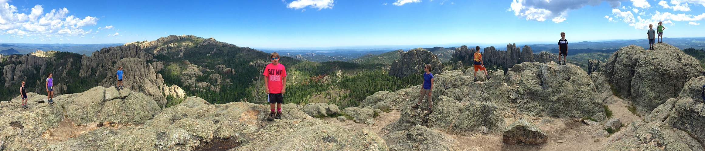
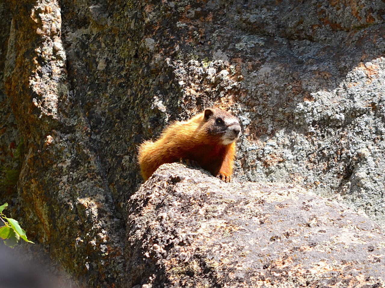
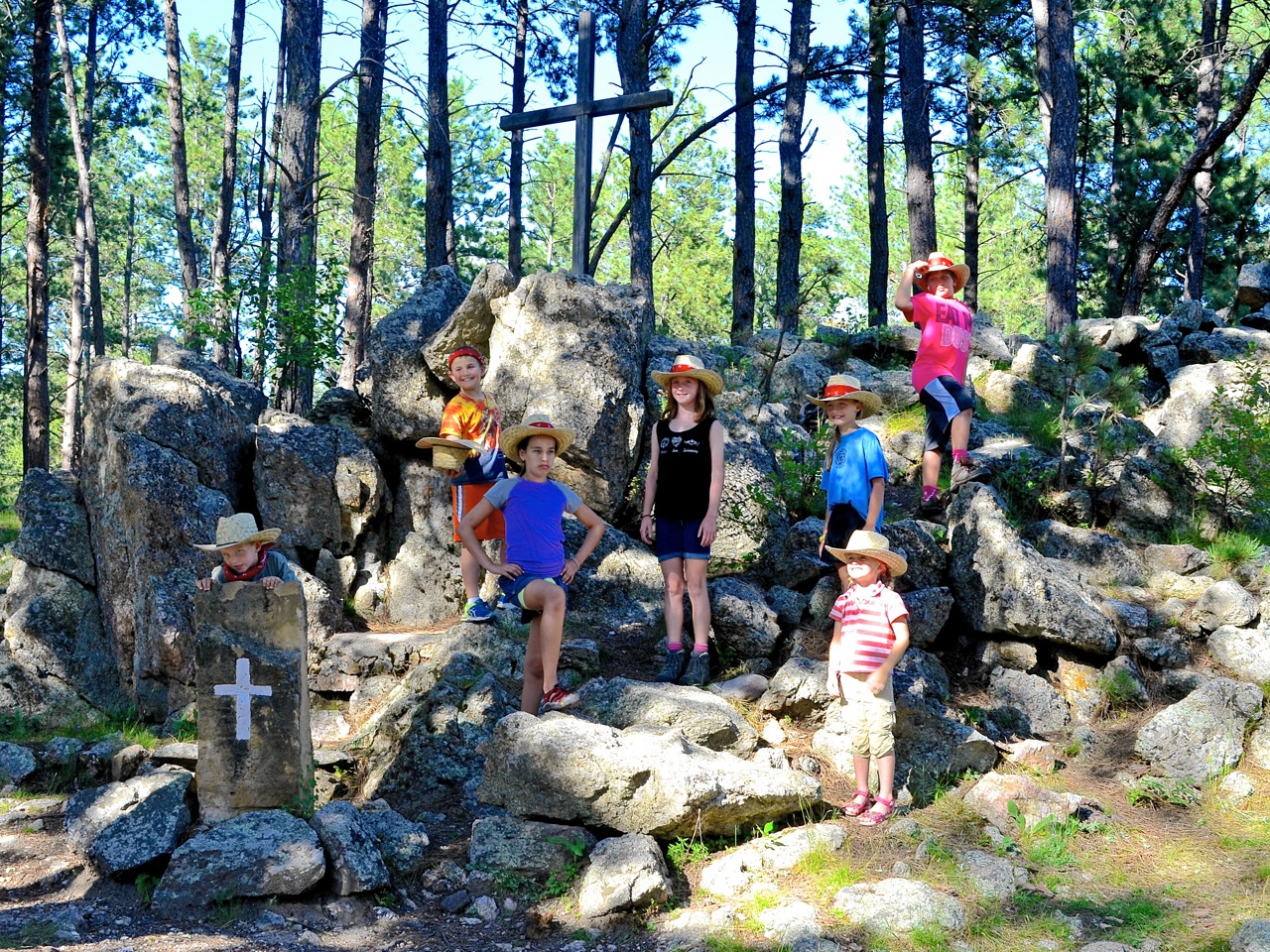
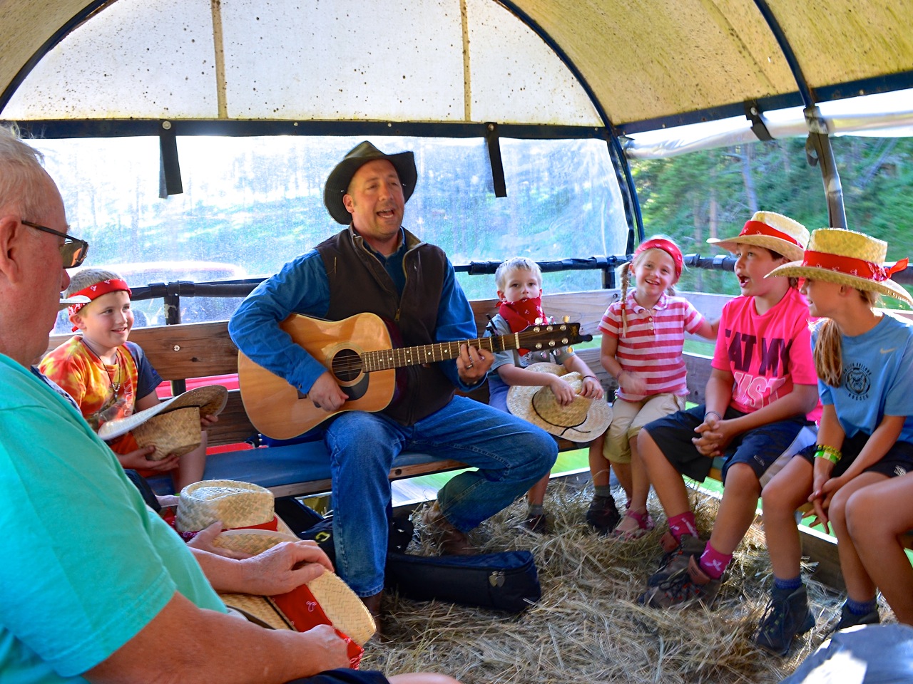
We hadn’t even made it back to our campsite, when whom should we meet but the Sears family! Actually, this wasn’t happenstance; we had made arrangements for our paths to cross and were looking forward to spending a few days together. We hiked around Sylvan Lake, Little Devils Towers and the Cathedral Spires, but the highlight had to be the sing-a-long chuckwagon dinner with Bullhead. This is a glorified version of a hayride while singing campy songs like Home on the Range and My Brother Eats Bugs. The event culminated with a steak dinner and hoedown in the middle of the prairie.

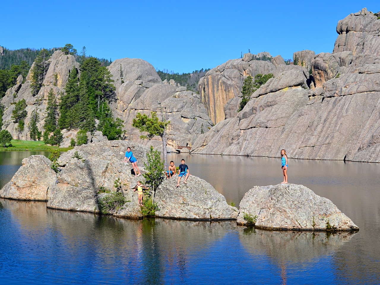
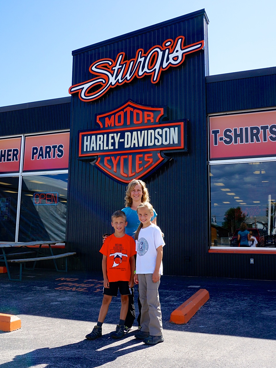
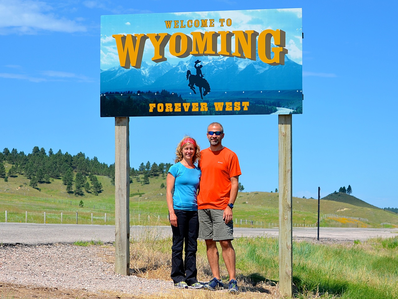
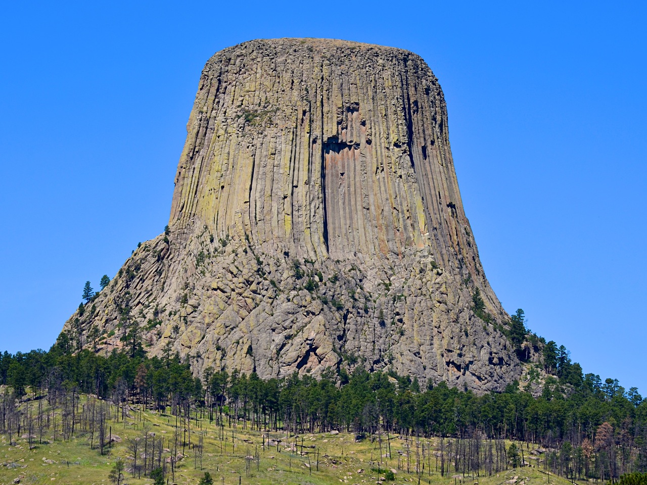
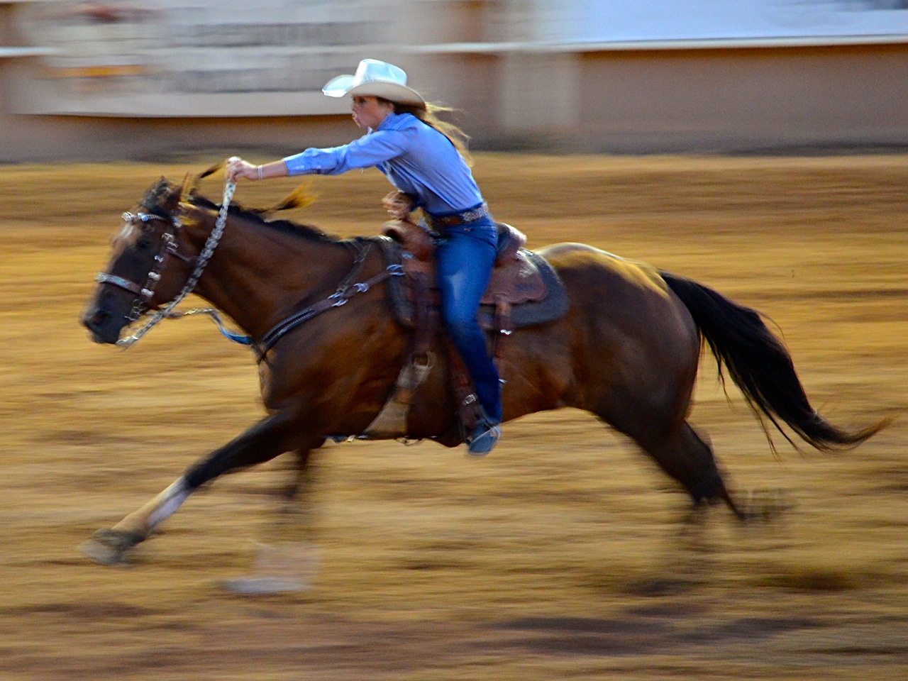
We awoke to another cloudless blue sky and seized the opportunity to jump in Sylvan Lake before the summer crowds arrived. Then, we left to explore the surrounding area: Mt. Rushmore, Sturgis, Devils Tower in Wyoming, and Spearfish Canyon. The plan was to regroup with the Sears in Deadwood for an honest-to-goodness rodeo, complete with bull riding, calf roping and barrel racing.

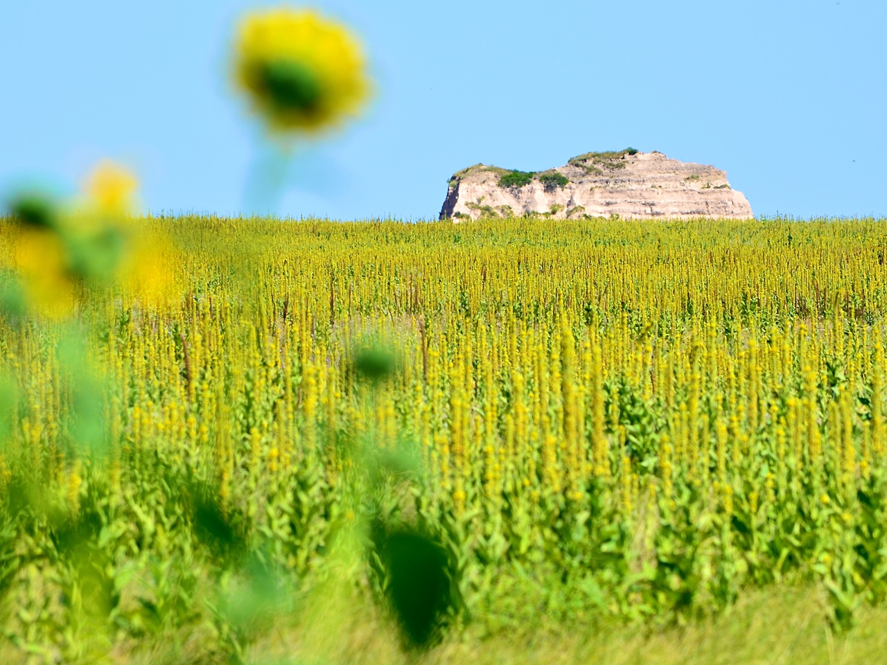
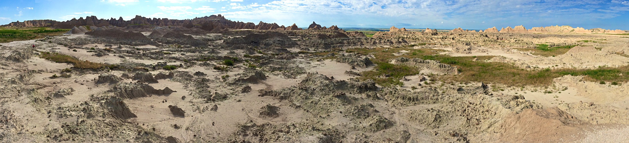
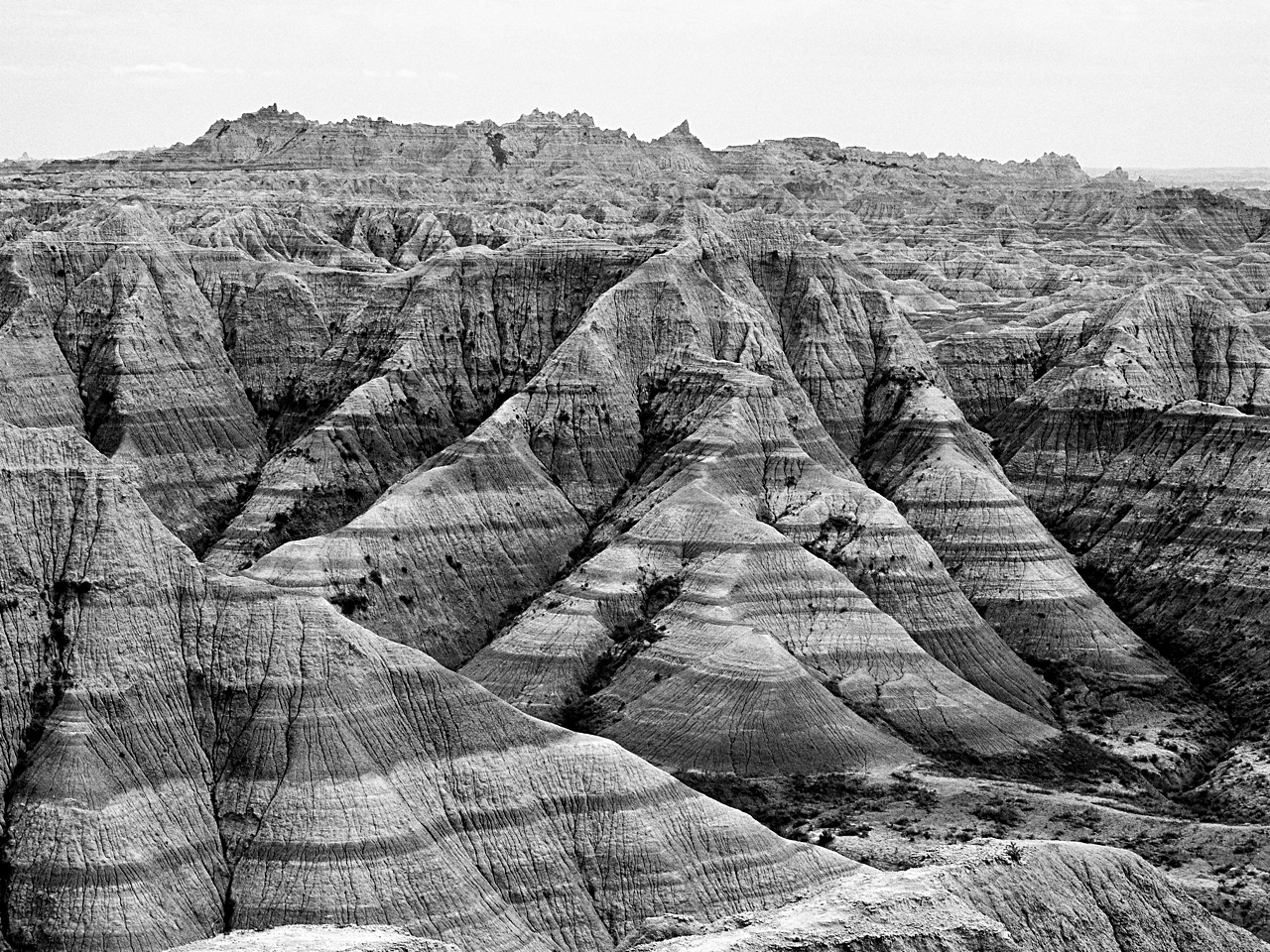
Days 10 and 11 — Badlands National Park, Interior, SD

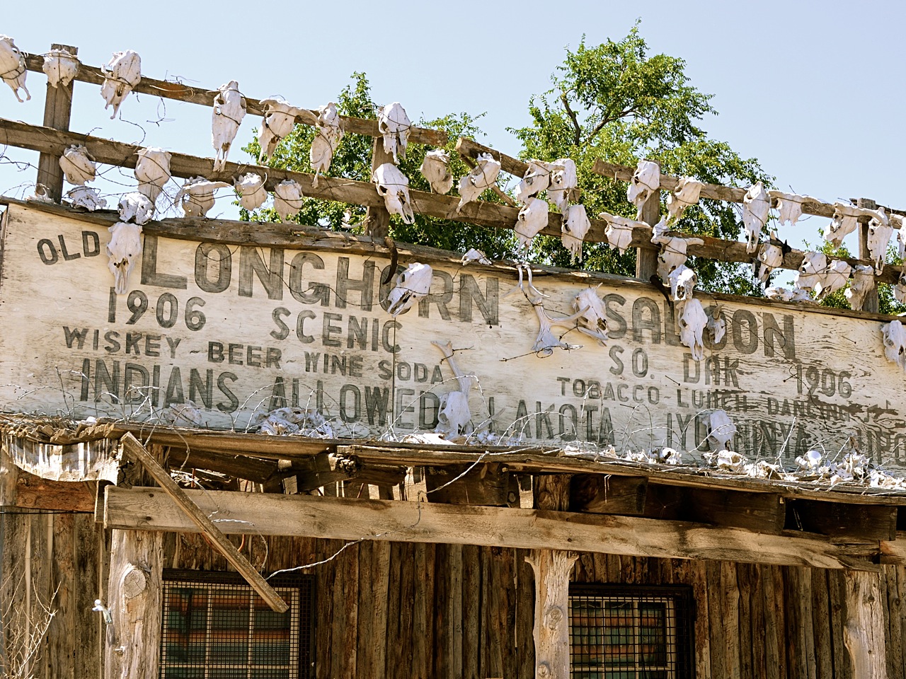
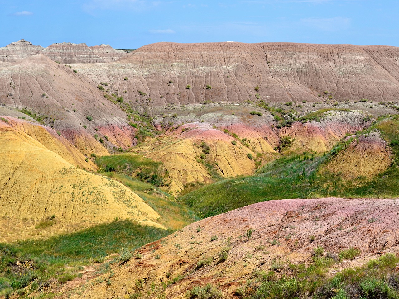
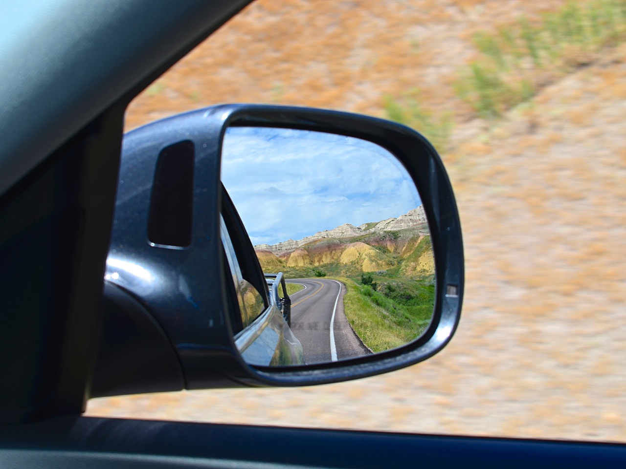
We said goodbye to the Sears and headed for Badlands National Park, the first stop on our return trip home. We had barely made it 20 minutes east of Rapid City when temperatures began to climb and the pines, so plentiful in the Black Hills, became fewer and far between. Rocky buttes began to dot the horizon until finally, an alien landscape emerged. We arrived in Scenic, a dusty town adjacent the southeastern edge of the park, home to 58 inhabitants, a saloon, and a jail. We had a few hours so we decided to explore Sheep Mountain Table. To get there required a long drive along a lonely, high-clearance road. I considered camping atop the plateau, but spending the rest of the afternoon under a scorching sun was quickly vetoed. Plus, I promised everyone that we could stay in a cabin so they could take a shower that wasn’t on a timer.

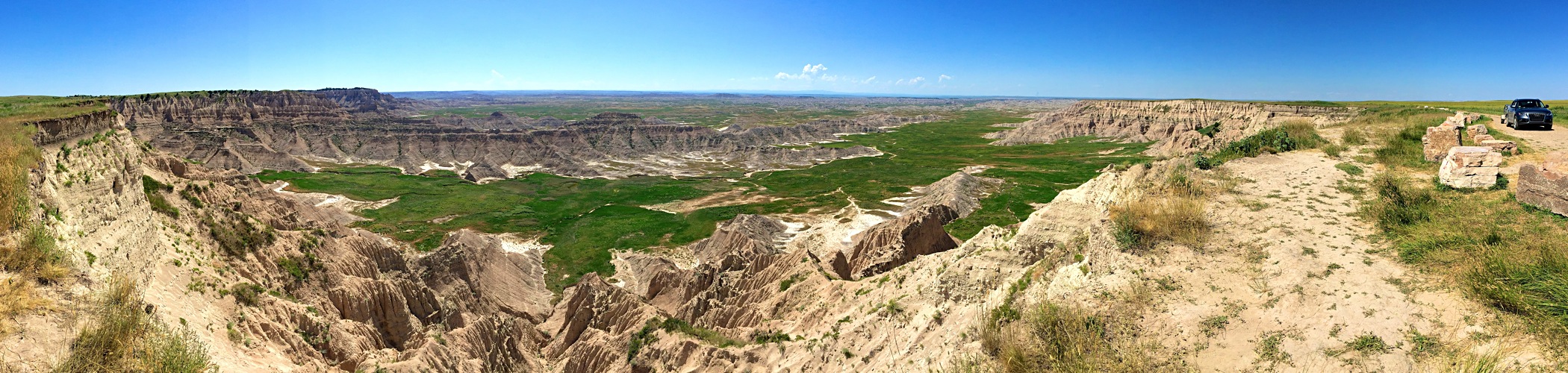
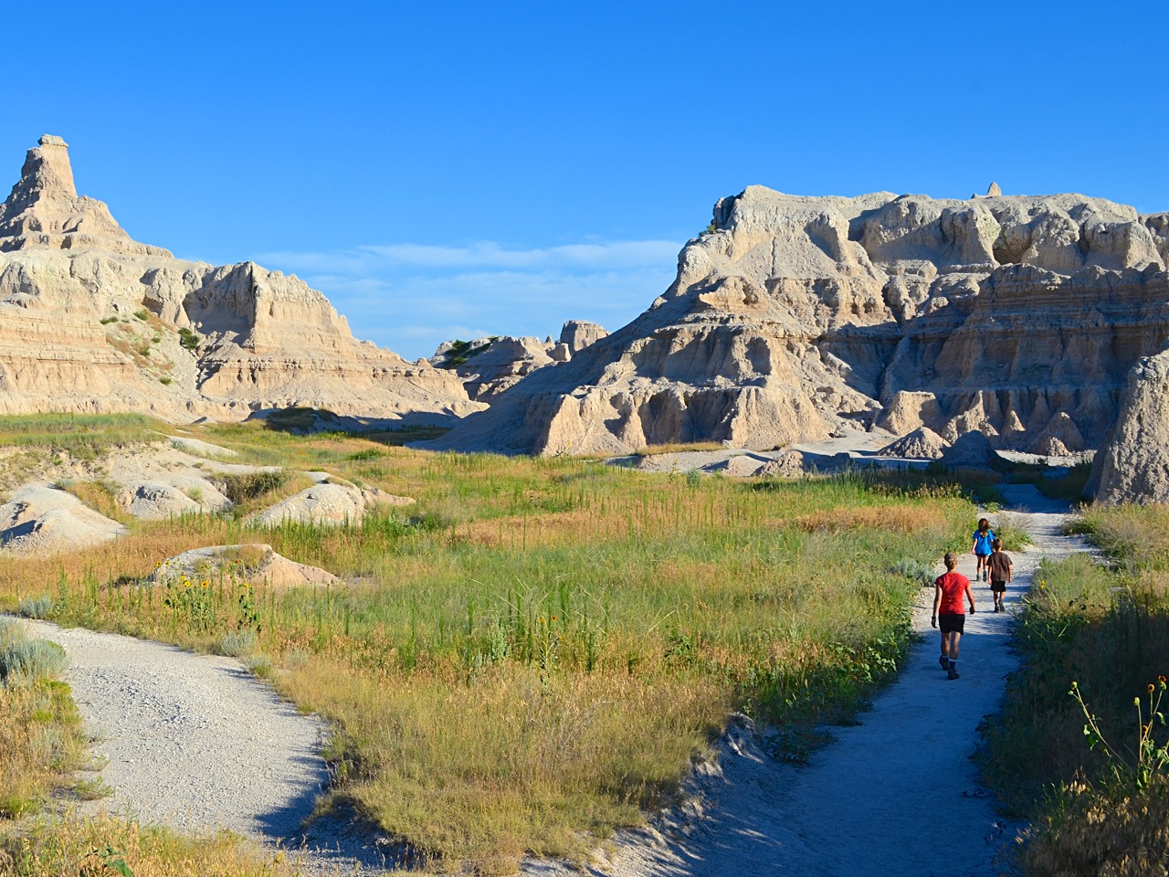
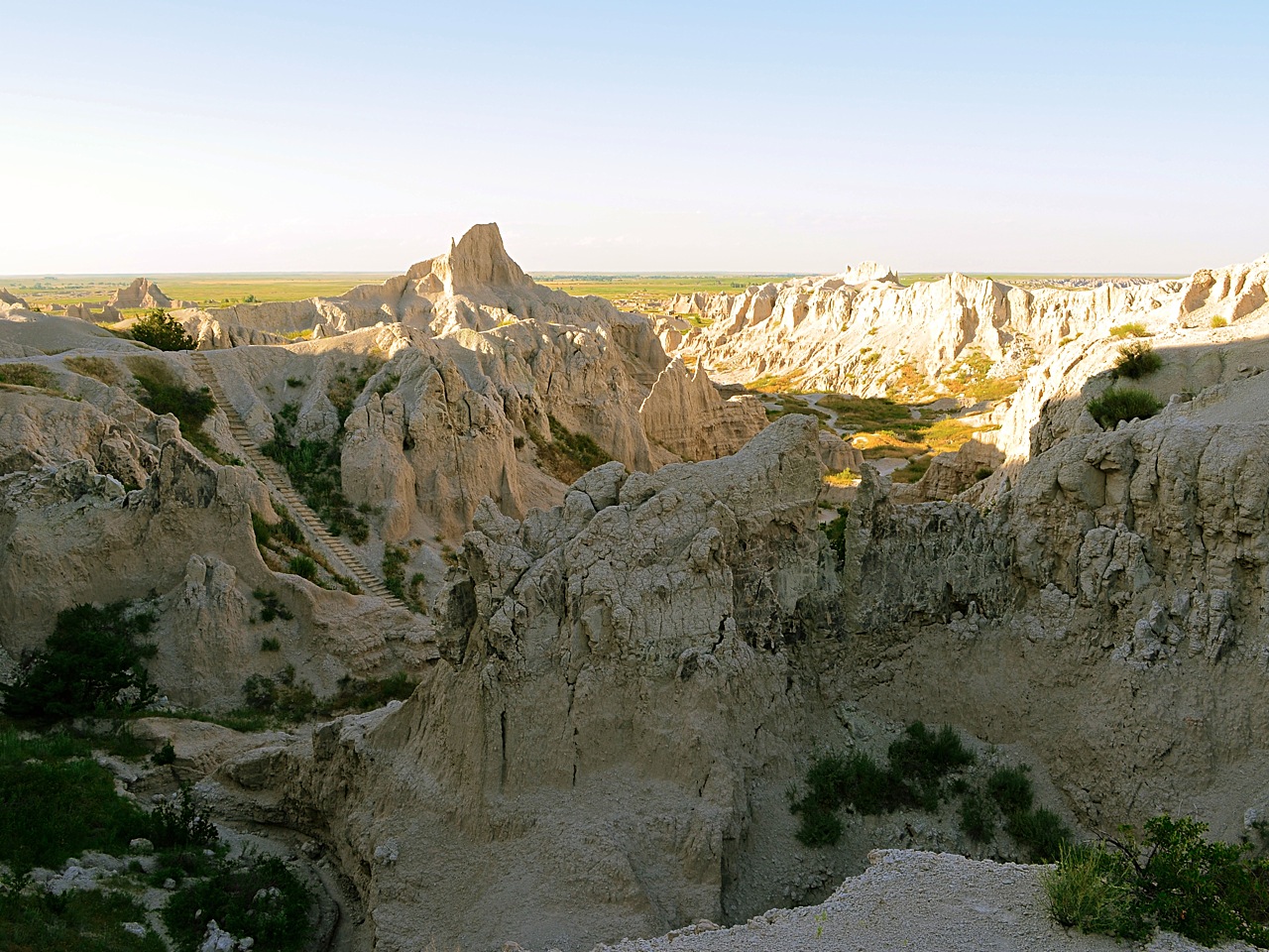
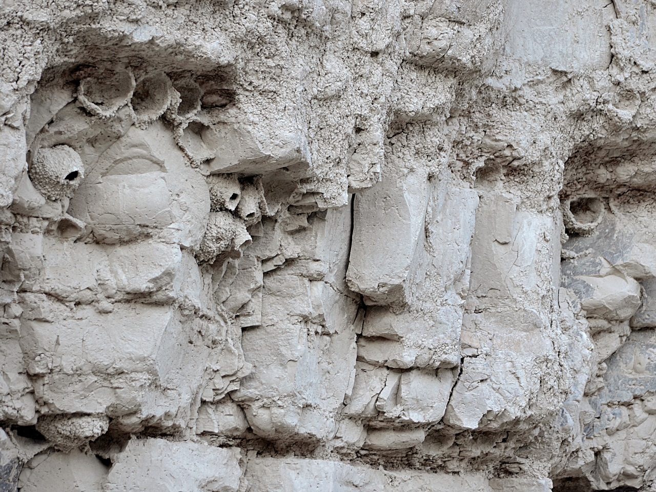
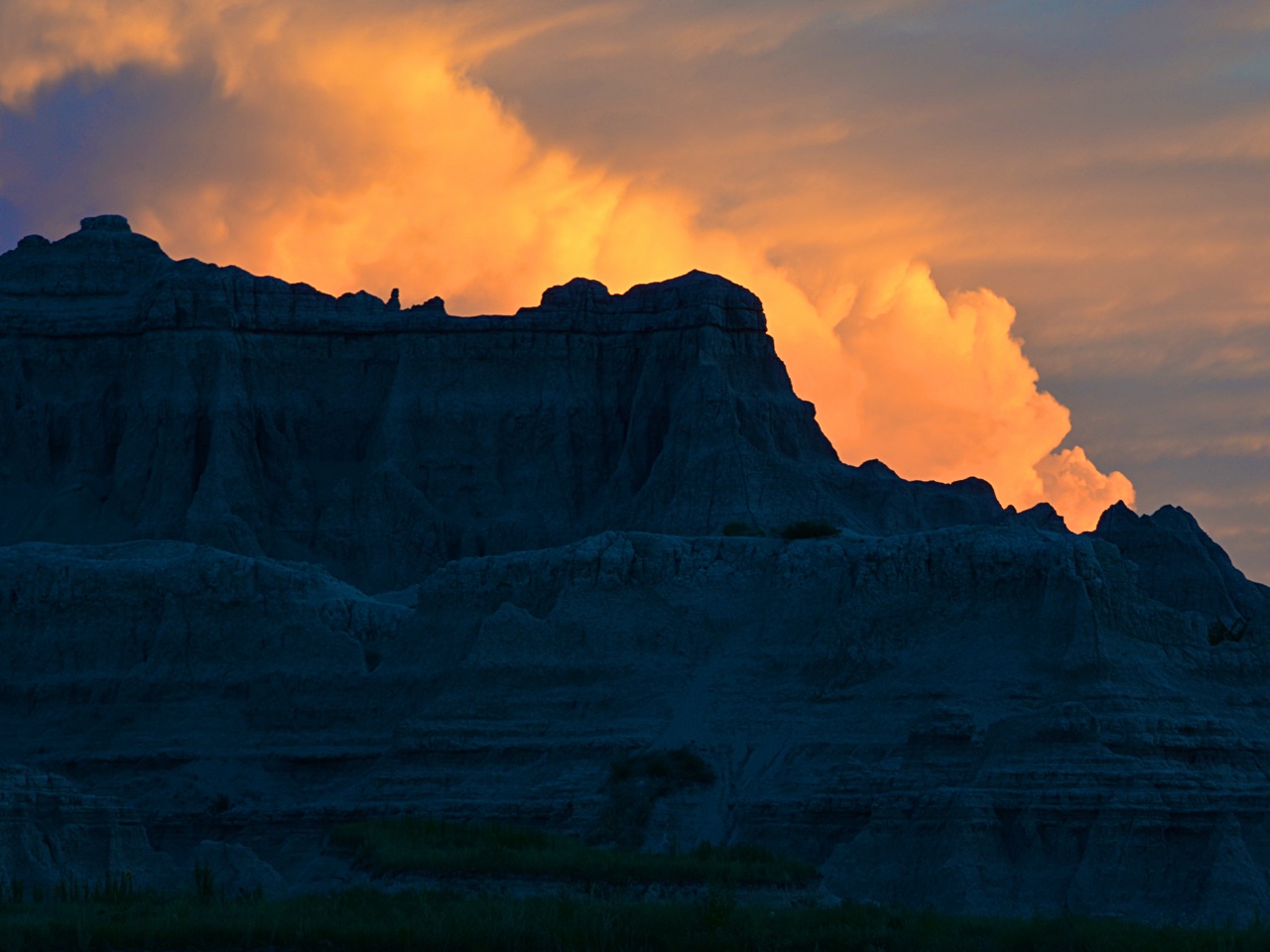
Highway 44 to Interior, SD is not especially scenic, but it is a pleasant drive none-the-less. Seemingly endless prairies in all directions give the area an infinite feel. Closer to Interior, the landscape changes dramatically. I’ve not yet been to the moon, but I do believe that Badlands National Park offers the closest thing to it on earth. We checked in, enjoyed a hot meal at the lodge, and set off to watch the sun set over the Notch Trail. We were warned that it often rained heavily on summer nights as the scorching heat gave way to violent lightning storms. Sure enough, as dusk approached, so did the billowy storm clouds.

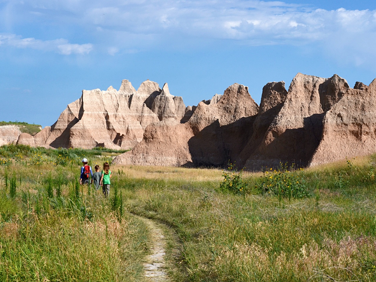
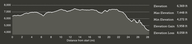
The next morning the ominous clouds had scattered and the sun returned with renewed vigor. We decided to hike a longer trail before it become too hot; the Castle Trail could be combined with the Medicine Root Trail to make a 6-mile loop. I suggest you take even more water than you think you’ll use. I suspect it was the hot, dry air, because we were rationing our water about half-way through the hike and I was sure that we had taken more than enough. Exhausted, we made it back to our car around noon.

Day 12 — The long road home.

Our plan called for an unhurried trip home. We’d depart the Badlands via Highway 240 and make our way to Wall Drug for lunch. (If you’re on the fence about visiting Wall Drug, don’t go. Imagine the gift shop at Cracker Barrel, then imagine 20 of those together in one place but all still separate rooms. I couldn’t wait to leave.) Our next stop was The World’s Only Corn Palace in Mitchell, SD. This, as it turns out, is worth a short visit. As night fell, we’d end up somewhere around Sioux Falls where we would have our pick of interstate hotel chains.

It was at this moment, 8pm while sitting in a Holiday Inn Express parking lot, that I realized even the best-laid plans go awry. Turns out the 75th running of the Sturgis motorcycle rally was to begin in two days. The expectation was that 1-million riders from all corners of the nation would make their way to South Dakota. And they needed somewhere to stay. And that somewhere was every hotel within a 500 mile radius. We started frantically calling for a room all with the same result, “Sorry. We’re booked.” We finally found one room in Rochester, 250-miles away. Our unhurried trip home suddenly became very hurried. We made it to Minnesota in the wee hours of the morning and grinded back to Indiana the following (same) day. Pippen sure was glad to see us!

* Consider reading Lonesome Dove written by Larry McMurtry. This Pulitzer Prize-winning epic western novel won't disappoint.

25 “Western” Miles*

It started as a selfish idea. How could I see more of this great planet while my body was still capable of getting to the hard-to-reach locations I wanted to see? Family obligations, work, church, school, and youth sports all conspire to fill up the calendar. Good things, but before you know it, you’ve got nothing left. So then, how to recharge? For me, the Great Battery is found outside, somewhere I can be alone with His heavens, mountains, and seas. John Lubbock said it best:

“Rest is not idleness, and to lie sometimes on the grass under trees on a summer’s day, listening to the murmur of the water, or watching the clouds float across the sky, is by no means a waste of time.”

I got the backpacking bug a few years ago while on a backcountry trip in Alaska. My friend Chad went on that trip, so I figured he’d be up for another go round. We talked it over and decided to invite a few others. Next, we had to decide where to go and when our schedules might align for a long weekend. Deciding where to go was the easy part — Zion National Park was on everyone’s short list. But when to go? A preposterously difficult decision. As luck would have it, Darren would be in Las Vegas on a business trip in late April. Could we piggy-back a trip to Utah onto his itinerary? We didn’t hit the jackpot, but at least four of us could make it work.

With an agreed upon destination and date, the planning kicked into high-gear. My retirement dream-job is to work as a ranger/interpreter/guide at a big park somewhere. Might as well see if I’m cut out for that now, right? I charted a 25-mile point-to-point backcountry route on the park’s western side that would require three days. We’d wander through four diverse biomes: Desert, riparian, woodlands, and coniferous forest. We’d start high (6,369-ft), climb higher (7,133-ft), and then descend to 4,272-ft by the time we reached Zion Canyon.

The next step was to reserve flights, a hotel in Las Vegas, a rental car, backcountry permits, campgrounds, and a shuttle to the trailhead. Getting wilderness permit “reservations” online can be a little frantic. Reservations can be made three months in advance starting on the fifth day of every month at 10:00 am Mountain Time. Our trip crossed over two months, so this caused a bit of anxiety; I didn’t want to book flights without being sure we could get the permits we needed. The park office was sympathetic to my plight, but unwavering. So, I applied a bit of magic-dust from my day job at Rare Bird, and wrote a browser script to auto-fill the entire reservation application in a single click. It must have worked because I was able to secure the reservation at exactly 10:00 am Mountain Time. (I checked 30 minutes later and 90% of the online reservations were taken!)

I’m a fairly tolerant eater. Meaning I’ll eat pretty much anything. I happen to know that two of the four are just the opposite. How could we build a meal plan that everyone would be happy with? Fortunately, I had a few ideas and three months to try them out. I decided to use my family as guinea pigs on a camping trip to the Great Smoky Mountains. Nobody has fallen over dead from these recipes, so I figured it was safe enough to use them again. For evening meals, we made grilled pepperoni pitas one night, and bacon jerky macaroni the other. I think both were well received. Breakfast was a hodge-podge of shelf-stable sausage and powdered eggs. (Not as bad as you might think!) Lunches consisted of mini-bagel deli meat sandwiches the first day and PB&J sandwiches after that. We filled in the gaps with high-calorie snacks and nuts. By the time we wandered into Springdale, we were ready for beer and burgers. Our friendly shuttle driver recommended Oscars, which lived up to expectations.

Day 0 - Las Vegas

We caught an evening flight to Las Vegas, but with the time zone change we had just enough time for a grocery run. And, an hour or two of blackjack and craps, of course. Turns out there was a big event going on — the boxing match of the century, or something like that. And, while the city had not yet reached it’s climax, the crescendo was palpable. Nevermind that we had to leave at 5:30 am to catch our shuttle to the trailhead. Needless to say, nobody got a lot sleep. This would become a recurring theme.

Tip: Click to enlarge. Use the 'Left' and 'Right' arrow keys to navigate the gallery.

Day 1 - Hop Valley trailhead to the Northgate Peaks

Our schedule out of Las Vegas started with the tolerance of Swiss watch:

4:30 am — shower and pack
5:30 am — leave Las Vegas, NV
8:30 am — arrive in St. George, UT (timezone change), Darren meets his client
9:00 am — leave St. George, UT
10:00 am — arrive at ZNP Visitor Center, obtain permits
11:15 am — park car at Zion Adventure Company, board shuttle
11:30 am — shuttle to Hop Valley trailhead
12:30 pm — stranded 25-miles from the trails-end!

See, ZNP decided this would be the year they would rebuild the Kolob Terrace Road; the only route to our trailhead. A brief window was open from noon to 1 pm. Miss it and you might not get through until after 6 pm. We also had to allow enough time for the shuttle driver to return via the same one-lane road during the same window. Somehow, someway, we absolutely nailed this schedule, and by 12:30 pm we said goodbye to Hayley from the Zion Adventure Company as she dropped us off and drove away.

There was nothing to do but start walking. Within the hour we had seen our first snake (not poisonous) among rolling hills leading to deep canyons in the far distance. We passed through wide expanses of desert sage and valleys of ponderosa pines. A rocky outcropping at the bottom of a dry wash provided a welcome break and the first of many cat-nap opportunities for Chad. The rest of us scrambled up the base of Pine Mountain and marveled at the peculiar rock formations.

Shortly after getting back on the trail we encountered another hiker. I didn’t get his name — I’ll call him Wyatt because his handlebar mustache belonged to another era. The fact that he was carrying a 14-point mule deer rack just added to his aura. Wyatt was a local, and suggested that we could go off-trail south of the Northgate Peaks to find water and dangle our feet over the edge of what he declared, “some awesome shit.” Sounded great, we were already thinking of camping in that general area. What could possibly go wrong?

For starters, on the map, the western peak looks tiny. Like something you could circumnavigate in 30 minutes. Even staring straight at it, you’re left thinking 45 minutes, tops. Wrong. An hour later we were only half-way around, bruised and scraped, and wondering if we missed a turn. After another 30 minutes we finally found the water pools we were looking for — all but evaporated in the desert sun. Good thing the sun wasn’t setting. Oh, wait.

We sent Chad up a 45° degree incline in search of something flat enough to pitch our tents on. He found a couple of choice spots in a shady grove of pines within an arm-length of the vertical walls of the western peak. We cooked on a nearby ledge of exposed rock overlooking the Great West Canyon. We even found a suspect water source nearby. In retrospect, I wish I hadn’t used this water since it clogged up my filter to the extent that Hans and Franz could now use the pump as a training device.

Day 2 - Northgate Peaks to the West Rim (Campsite #6)

A new environment and new roommates made for another sleepless night, but at least everyone got an hour or two of sleep. We still had to bushwhack our way back to a proper trail, so after a round of coffee and breakfast we headed out through dense sage hoping that the hidden rattlesnakes didn’t like humans. We followed dry creek beds until we found a game trail that led us to a larger trail which ascended back to the peaks overlook. We never did find the elusive feet-dangling utopia. Maybe next time.

From here we had a 5-mile walk along the picturesque Wildcat Canyon trail to our first official water source. We passed through a scenic section of dense forest that felt like it belonged in the Pacific Northwest rather than Southern Utah. I’m not sure what I was expecting, but the water source at Wildcat Canyon was smaller than I thought it might be. Chad must have felt this way too, so he scouted ahead just to be sure we weren’t missing a bigger pool. He was back inside of 10 minutes and reported that there was in fact a larger pool further down the trail. Darren and I packed up to use that source. 20 minutes later we reached the head of Wildcat Canyon. It was bone dry. Confused, we thought it must be just ahead. After another 10 minutes we still hadn’t found it, so we dropped our packs and back-tracked. We found Chad and Matt just finishing up next to a hidden pool we both had walked right past. “Hey, where did you guys go?” fell on deaf ears.

A quick aside: Refilling water after being empty offers both an extremely high and low feeling. You’re euphoric that you've extended your life until the next source. But, you’re dejected the moment you buckle your pack and realize that 5-liters of water weighs 11-pounds.

Our next human encounter was with a couple of park rangers. I didn’t get names here either, so I’m going with Ranger #1 and Ranger #2. Ranger #1 was on top of her game. She was friendly with an air of authority. She did ask us to show our permits, but she also provided a few points of local knowledge: How far to Lava Point? (Far.) Is it worth the climb up? (No.) Is there water at Sawmill Springs. (A trickle.) It’s amazing there is any water at all on the plateau. (An observation.) You’ll love your campsite on the West Rim. (A promise.)

Horse Pasture Plateau serves up a mix of desert scrub with a few junipers and Ponderosa pines scattered about. The area was ravaged by fire in 2009 and charred stumps are dispersed throughout the landscape. This terrain continues south from the Wildcat Canyon/Lava Point junction for 3-miles before a shocking vista presents itself, seemingly out of nowhere. Literally, breathtaking. Darren and I were first to arrive and were still picking up our chins when Chad and Matt rolled around the corner. Then we relived it once again through their reaction. I have no idea why this overlook isn’t marked on the map! It should be on all of the promotional material that ZNP produces. The South Guardian Angel is positioned perfectly amongst the towering walls of the Great West Canyon. If a single shaft of sunlight were to hit the mountain, I would have told you that Mount Sinai was in Utah.

It was hard to move on from this place, but we still had a few more miles to go before we reached our campsite. We passed through scenic Potato Hollow before arriving at the first of three “humps” the ranger warned us about. For the record, a “hump” in Utah would pass as Mt. Everest in Indiana. Campsite #6 sits high atop the West Rim with nearby overlooks north to Horse Pasture Plateau and west to Phantom Valley. Trail weary after 13-miles, we just sat. Finally, under a setting sun and rising moon, we made camp and then dinner.

Day 3 - West Rim to The Grotto (Zion Canyon)

In theory, our third day was supposed to be the easiest. The majority of the trail was downhill, and we didn’t need to log double-digit miles. But, the long hike to the campsite the previous day had us running low on water and sacrifices had to be made. No coffee (yikes!) and no milk for cereal. We divvied up our remaining water (1/2-liter each) and hoped that we could hold out until the next spring, 3.2-miles away.

We made it to the spring on empty and refilled our water with a number of other hikers. Cabin Springs sits high above Telephone Canyon. A scant 20-feet from the spring, a cliff drops precipitously at least 500-ft straight down. Darren thought it would be a good idea to perch over the edge and take a photograph. He wasn’t going to get any help from us, so if he wanted that photo, it would need to be a selfie. Turns out my camera wouldn’t have been much help anyhow. Somewhere between the top of the West Rim and Telephone Canyon, the memory card became dislodged. The camera was going through the motions of taking pictures, but they weren’t being saved. I’m really sick about it, however these scenes will live on in my memory.

We loaded up on another 5-liters of water and set out on the last leg of our trek, south towards the canyon floor. But first, we would be passing by Angels Landing — one of two quintessential hikes in the park. The original plan called for a day hike of Angels Landing on Day 4, but after realizing we would have to retrace 2.4-miles of switchbacks climbing 1,500-ft just to get to it, we opted to squeeze it in on our way down. Angels Landing did not disappoint. This majestic rock spire juts into Zion Canyon with panoramic 360° views from the summit. Support chains are anchored into the rock face for the last half-mile to the top. Steep does not describe this trail. Harrowing comes closer, but still isn’t the right word. It simply must be experienced. Go!

I’m still recovering from the aches of hiking down Walter’s Wiggles with 35-lb packs. My feet were on the cusp of blistering before the descent. By the time we reached the bottom, they were doomed. We had a few hours of daylight left, and our agenda called for a shower, making camp, and dinner. Not necessarily in that order. It was hard not to notice the Virgin River meandering a 100-yards from our trail. Shower… check. Freshly bathed, we sent Darren for the car, while we checked into Watchman Campground and set up our tents for the final time. Then, it was off to Springdale for some grub.

Day 4 - The Narrows (day hike)

With Angels Landing checked off of our bucket lists, we had just enough time left for one more legendary hike. The Narrows follows the Virgin River upstream from the Temple of Sinawava for 16-miles. Typically, the hiking season on this trail is only in the summer and autumn due to the high water levels from the winter snows. But this year, drought conditions have allowed the trail to remain open. We didn’t have time for a complete trip to the top, but we pushed as far as we could before turning around to catch our red-eye flight back to Indianapolis. Should I ever come back, this hike will be at the top of my list.

With our batteries recharged, we returned to Las Vegas to catch our flight home. This time, Las Vegas was winding down from the Mayweather/Pacquiao bout, and the airport was extremely congested. An hour wait on the tarmac made for an even later arrival.

Overall, I wish we would have seen more wildlife in the backcountry — we only saw a few snakes and lizards. It wasn’t until we were amongst the throngs of park visitors in the main canyon that we began to see bigger animals like mule deer. I have unscientifically concluded that it must be easier to take the food from humans, rather than forage. I would highly recommend Zion National Park to anyone. The scale, biodiversity, and beauty of the park are unmatched. Jules Renard had the right of it when he said, “On Earth there is no Heaven, but there are pieces of it.” I found a few pieces in Zion.

* We have conflicting GPS and FitBit data with regards to the exact miles walked and number of steps taken. One thing is for certain. My body aches like I walked 107,174 steps and 30-miles, so that’s what I’m going with. After backpacking in Alaska and now Utah, I’ve learned that one mile west of the Mississippi does not equate to one mile east of it. Strange, but true.

Great Smoky Mountain NP (Spring Break 2015)

Well, now we've done it. After sitting on the fence for more than a reasonable amount of time, we've finally decided to buy a camper. For those that know me well, it will come as no surprise that it's no ordinary camper. Specifically, we decided to buy a SylvanSport GO. Spring Break provided just the opportunity to pick it up and kick the tires.

We headed for Brevard, North Carolina, where each GO is crafted by the outdoor-loving folks at SylvanSport. My expectations going into this were pretty high. I wanted something that we'd use often, was easy to setup, and could be used to haul an overabundance of gear (kayaks, bikes, packs, etc.). The GO is exceptionally simple, but don't be fooled; everything seems to have been designed with a purpose and built using high quality materials. After a thorough orientation at the factory, we headed for the Cataloochee Valley in the Great Smoky Mountains National Park to try it out.

I must admit that I found the idea of towing a bit intimidating. I'm not sure why, because it's not really all that bad. Our compact SUV was able to accelerate normally and we could achieve interstate speeds without a problem. You can definitely tell you're pulling something -- there is a tugging sensation over bumps, but soon enough you'll become accustomed to it. Changing lanes in traffic takes a bit more planning, and you'll need wider turns and larger parking spots at stopovers. Our gas milage on the return trip was 1-mpg less than the trip out. Overall, towing is nothing to worry about, but I still can't shake the feeling that I'm being tailgated.

Tip: Click to enlarge. Use the 'Left' and 'Right' arrow keys to navigate the gallery.

The moment of truth came at the campground when we had to set up without the safety net of our friendly orienter. As it happens, the hardest part was figuring out where we wanted our door to open. One person can unhitch and move the GO around the campsite, but it was more cumbersome than I imagined it would be. (The tongue weight is 70-lbs.) Leveling can be tweaked a bit with the four stabilizer jacks in each corner. The included awning creates a cozy space and provides some protection from the sun and rain. From travel mode to camp mode, we were able to completely set up in about 30 minutes. I'm sure we'll get faster over time.

Speaking of rain, what would camping be without a downpour? We had just settled in around the campfire when thunder started rolling across the valley. It rained heavily the entire night, but inside the GO, we stayed dry. The middle table configuration was a big hit -- good for a card or board game while it was raining outside. The tent trapped more heat than I expected a single-wall material to retain, and I did notice a fair amount of condensation build-up in the mornings. Hopefully it won't be too hot in the summer months.

The new day ushered in sunshine, and after breakfast we set out to explore the hiking trails in the area. We hadn't gone very far before we saw an elk bull feeding in the forest. He was positively giant in comparison to the white-tailed deer we're used to seeing in Indiana. The Cataloochee Valley was popular with the early settlers and several historic buildings still remain. One of the more curious remnants are the hand-built stone walls along the Boogerman Loop Trail. Imagine life as a homesteader in the late 19th century! The trail runs alongside the Caldwell Fork with many footbridges; some in better condition than others. A singular regret from our Alaskan backpacking trip a few years ago is that I never got to do a proper river crossing. Who knew the Great Smoky Mountains would present not one, but three, opportunities?! Cheers to the person who invented quick-dry fabric!

We packed up the GO and headed for home along the windiest mountain road I've ever driven. Mt. Sterling Road follows an old Cherokee trail and was the first wagon road in the Smokies. Apparently the park system didn't consider the "Old Cataloochee Turnpike" worth paving, or perhaps a single lane dirt road with blind curves is meant to be a traffic deterrent? To provide temporary relief from the white-knuckle driving, we decided to climb Mount Sterling, a 6 mile out-and-back with 2,000-ft elevation gain. We cobbled together lunch at the summit and hiked down in double-time. You know that moment where your kids can do something better than you can? Yeah, that. I could not have matched Greta's pace on this hike. We headed for home trail weary, but already looking ahead to our next adventure. We can't wait to take the GO on the road this summer when we head for the Black Hills, South Dakota.

If you find yourself near Indianapolis and want to check out the GO in person, get in touch. It was helpful for us to see it before deciding to buy one for ourselves.

2nd Annual New Year's Day Hike

For the second straight year, we bundled up, and set out on a New Year's Day hike. (A family tradition I hope to continue for many years to come.) Our 2014 trip was to Turkey Run State Park, and while I don't have many photos from that hike, I did find these three on Instagram. [1] [2] [3]

For 2015, I wanted to go somewhere we hadn't been before. It's hard to find new places to explore in Indiana, but I'd heard about a couple of off-the-beaten-path nature preserves near the small town of Attica.

Portland Arch Nature Preserve was the larger of the two parks we visited. What a hidden gem! Here, a pristine creek runs through a wooded valley flanked by massive sandstone cliffs. We had a great time exploring the frozen landscape. The almost fluorescent green moss provided a stark contrast to the barren winter browns. I've read that the presence of moss and lichens is an indicator of good air quality. After a few deep breaths, I can attest to this.

Tip: Click to enlarge. Use the 'Left' and 'Right' arrow keys to navigate the gallery.

A short drive from the Portland Arch we found the Fall Creek Gorge Nature Preserve. The frozen ice here made the initial stream crossing quite treacherous. Swirling water has eroded the bedrock into a series of "potholes", which over time, have created a unique topology. A short footpath leads to a waterfall at the head of the gorge where I was unable to convince the kids to take a polar plunge. Maybe next time.

Fall Break 2014 - Florida Vacation

Back in 2011, the Nyce and Rothe families cobbled together an impromptu Fall Break trip to Destin, Florida. Miraculously, by the end of it, everyone remained friends – a sign that it would be safe enough to try again. The 2014 school calendar showed an entire week for Fall Break, so the trip planners went to work. It's this writer's opinion that Fall Break is an ideal time to visit Florida. The crowds are non-existent, there are no lines at restaurants, discounts and deals abound, yet the temps and Gulf waters are still relatively warm, at least to this northerner.

I don't have much additional narrative about this trip, just photos. In a few of them, an eerie light was cast by a (partial) solar eclipse – which was a lot of fun to shoot in. We enjoyed hanging at the beach, around town, and generally doing a lot of nothing. It's this last bit that was especially refreshing. We had a great time with a great family! Somehow we ended up with a couple of hermit crabs on the return trip. Sadly, one didn't make it back to Indiana. The other however, is still alive and well.

Tip: Click to enlarge. Use the 'Left' and 'Right' arrow keys to navigate the gallery.